
Type Highway Length 11 km | Route number(s) A5 Major cities Morphettville | |
 | ||
Northeast end West Terrace (A21), Adelaide Southwest end Colley Terrace / Chapel Drive, Glenelg Major suburbs Plympton, Morphettville | ||
The Anzac Highway is an 8.7-kilometre-long (5.4 mi) main arterial road heading southwest from the city of Adelaide, the capital of South Australia, to the beachside suburb of Glenelg.
Contents
Map of Anzac Hwy, South Australia, Australia
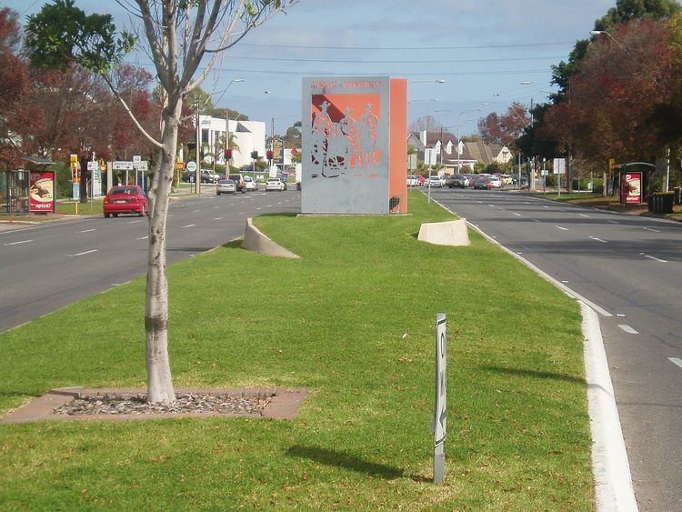
Originally the Bay Road (which remains an informal synonym), it mostly follows the track made by the pioneer James Chambers from Holdfast Bay, the first governor's landing site, to Adelaide. It gained its current name in 1923 to honour the contribution of the Anzacs (Australian and New Zealand Army Corps) in World War I.
The highway is serviced by a 15-minute Go Zone, serviced by the 262, 263 and 265 buses.
History
The South Road (A13) intersection with Anzac Highway saw major construction works in 2007-2009 as part of a South Australian Government initiative to transform South Road into a non-stop north-south route.
Under the works, both routes became grade-separated, with South Road proceeding through an underpass with bi-directional controlled exits onto Anzac Highway. The underpass model is a single-point urban interchange. Construction began in October 2007, and the underpass was opened in March 2009, with construction completed in late 2009.
The underpass was named the Gallipoli Underpass, in keeping with the Anzac theme, and each of the 4 corners of the intersection has a display to commemorate those who fought in the war.
In popular culture
Anzac Highway is mentioned in the song "One More Boring Night in Adelaide" by Redgum on their 1978 album If You Don't Fight You Lose.