
Vehicle registration UP Population 7,740 (2001) | Time zone IST (UTC+5:30) Elevation 93 m Local time Monday 9:47 AM | |
 | ||
Founded by shri lal tribhuvan singh Weather 22°C, Wind W at 8 km/h, 44% Humidity | ||
Antu is a town and a nagar panchayat in Pratapgarh district in the state of Uttar Pradesh, India
Contents
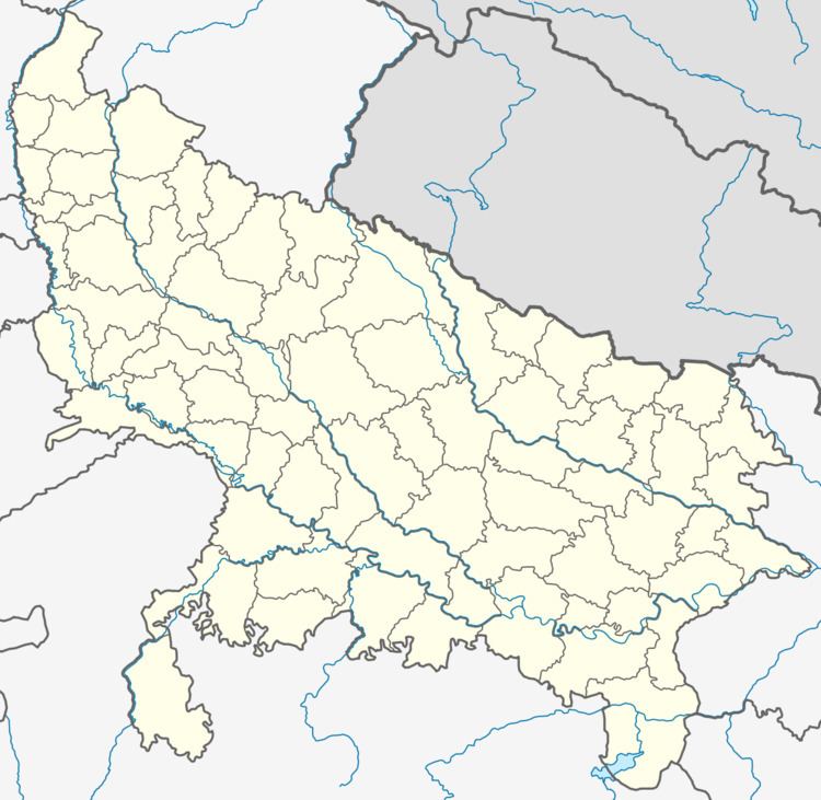
Map of Antu, Uttar Pradesh 230501
Geography
Antu is located at 26.05°N 81.92°E / 26.05; 81.92. It has an average elevation of 93 metres (305 feet).
Demographics
As of 2001 India census, Antu had a population of 7,740. Males constitute 52% of the population and females 48%. Antu has an average literacy rate of 59%, lower than the national average of 59.5%; with 62% of the males and 38% of females literate. 16% of the population is under 6 years of age. Purani Bazar of Antu is Very Old Bazar of India. Maa Jalipa Devi Mandir is Famous Temple of Antu. Maa Sati Devi Temple is Situated from 500 M from Purani Bazar.
References
Antu, India Wikipedia(Text) CC BY-SA