
Local time Monday 6:04 AM Administrative region Western Greece Regional unit Elis | Time zone EET (UTC+2) | |
 | ||
Weather 11°C, Wind NE at 11 km/h, 74% Humidity | ||
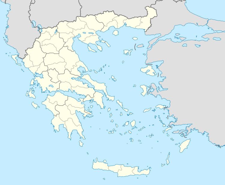
Antroni (Greek: Αντρώνι) is a mountain village and a community in the municipal unit of Lasiona, Elis, Greece. The community consists of the villages Antroni, Panopoulo, Zachareika and Chania Spartoulia. Antroni is situated near the Foloi oak forest, on a small plateau between deep and narrow river valleys. It is 1 km north of Foloi, 10 km southwest of Lampeia and 19 km northeast of Olympia. The Greek National Road 33 (Patras - Tripoli) runs through Panopoulo and Chania Spartoulia.
Map of Antroni 270 63, Greece
According to Greek mythology Heracles used a net to catch the Erymanthian Boar in a gorge near Antroni. Antroni was part of the municipality of Lampeia between the 1830s and 1912. It was an independent community until the 1998, when it joined the new municipality of Lasiona. This in turn became part of the municipality Archaia Olympia in 2011.