
River sources Antainambalana River Basin countries Madagascar Ocean/sea source Indian Ocean River source Antainambalana River | Ocean/sea sources Indian Ocean Settlements Maroantsetra Settlement Maroantsetra | |
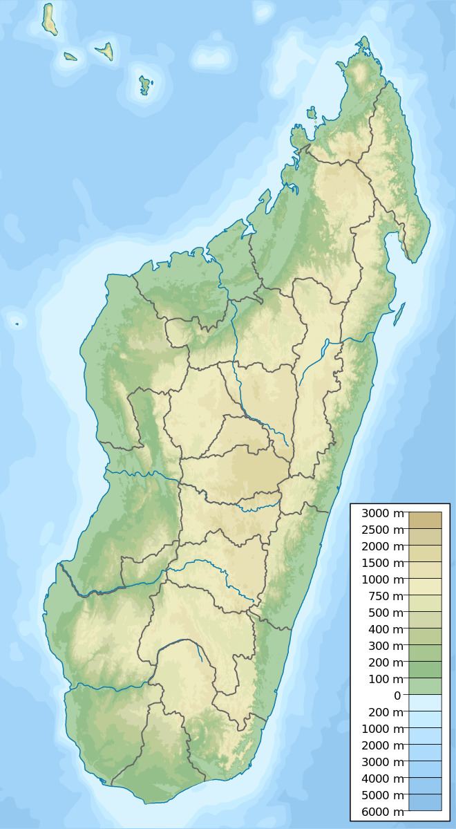 | ||
Location Analanjirofo Madagascar | ||
Antongil bay masoala national park madagascar
Helodranon' Antongila (Bay of Antongila), more commonly called Antongil Bay in English, is the largest bay in Madagascar. It is at the northern end of the east coast of the island and for administrative purposes it is within Analanjirofo Region. The bay is about 60 kilometres (37 mi) long and 30 kilometres (19 mi) wide, and is formed by the Masoala peninsula on its eastern side. At the northern end of the bay is the island of Nosy Mangabe and the town of Maroantsetra.
Contents
Map of Antongil Bay, Madagascar
In the southern end of the bay is found the town of Mananara Avaratra and the mouth of the Mananara River (Analanjirofo).
References
Antongil Bay Wikipedia(Text) CC BY-SA