
Country United States ZIP code 87711 Elevation 1,601 m Population 188 (2010) | Time zone Mountain (MST) (UTC-7) Area code(s) 575 Area 4.621 km² Local time Sunday 11:13 AM | |
 | ||
Weather 9°C, Wind W at 39 km/h, 27% Humidity | ||
Anton Chico is a census-designated place in Guadalupe County, New Mexico, United States. Its population was 188 as of the 2010 census. Anton Chico has a post office with ZIP code 87711. New Mexico State Road 386 passes through the community.
Contents
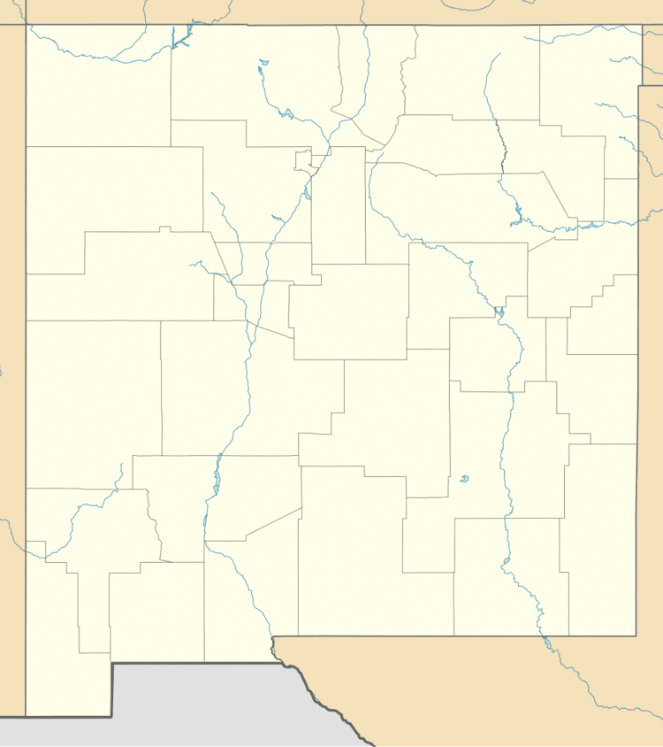
Map of Anton Chico, NM 87724, USA
Geography
Anton Chico is located at 35.194866°N 105.143895°W / 35.194866; -105.143895. According to the U.S. Census Bureau, the community has an area of 1.784 square miles (4.62 km2), all of it land.
References
Anton Chico, New Mexico Wikipedia(Text) CC BY-SA