
District Betioky Sud Elevation 98 m Population 7,000 (2001) | Time zone EAT (UTC3) Local time Sunday 8:34 PM | |
 | ||
Weather 28°C, Wind SW at 10 km/h, 80% Humidity | ||
Antohabato is a town and commune (Malagasy: kaominina) in southwest Madagascar. It belongs to the district of Betioky Sud, which is a part of Atsimo-Andrefana Region. The population of the commune was estimated to be approximately 7,000 in 2001 commune census.
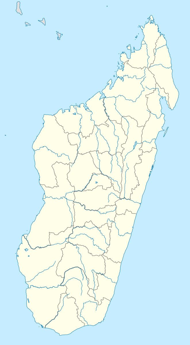
Map of Antohabato, Madagascar
Only primary schooling is available. The majority 80% of the population of the commune are farmers, while an additional 15% receives their livelihood from raising livestock. The most important crop is beans, while other important products are onions and rice. Services provide employment for 5% of the population.
References
Antohabato Wikipedia(Text) CC BY-SA