
Country Greece Time zone EET (UTC+2) Vehicle registration Z Area code 210 Administrative region Attica | Elevation 338 m (1,109 ft) Postal code 153 xx Local time Sunday 1:48 PM Municipality Pallini Regional unit East Attica | |
 | ||
Weather 16°C, Wind E at 8 km/h, 62% Humidity | ||
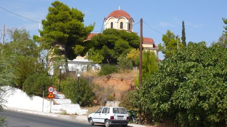
Anthousa (Greek: Ανθούσα meaning "in blossom") is a suburban town in East Attica, Greece. Since the 2011 local government reform it is part of the municipality Pallini, of which it is a municipal unit. The municipal unit has an area of 3.865 km2.
Contents
Map of Anthousa, Greece
Geography
Anthousa is situated in the eastern part of the Athens conurbation, at about 300 m elevation. It lies in the southern foothills of the Penteliko Mountain. It is 3 km north of Pallini, 2 km south of Penteli and 14 km northeast of Athens city centre. Motorway 6 passes southwest of Anthousa.
References
Anthousa Wikipedia(Text) CC BY-SA