
 | ||
Similar Gila River, San Pedro River, San Francisco Peaks, Wupatki National Monument, Salt River | ||
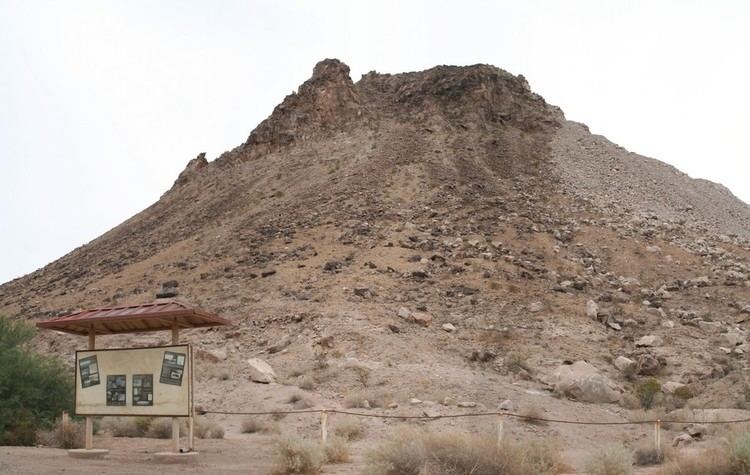
Antelope Hill, formerly Antelope Peak, is a summit, at an elevation of 804 feet, near the Gila River in Yuma County, Arizona.
Map of Antelope Hill, Arizona 85356, USA
Antelope Peak was a landmark for travelers on the trails and roads along the course of the Gila River in previous centuries. It was a location of a camp and watering place on the Southern Emigrant Trail, it was nearby the site of the Butterfield Overland Mail, Antelope Peak Station, a later stagecoach station located 15.14 miles east of Mission Camp, which replaced its older Filibusters Camp stage station.
References
Antelope Hill, Arizona Wikipedia(Text) CC BY-SA