
Opening date 1964 Impounds Indian Creek Elevation at crest 5,025 ft (1,532 m) Catchment area 183.9 km² | Type of dam Earthfill Length 1,320 ft (400 m) Height 34 m Surface area 3.768 km² | |
 | ||
Similar North Bay Aqueduct, Castaic Dam, South Bay Aqueduct, O'Neill Dam, Edmonston Pumping Plant | ||
Antelope Dam or Antelope Valley Dam (National ID # CA00037) is a dam in Plumas County, California, part of the California State Water Project.
Map of Antelope Dam, California, USA
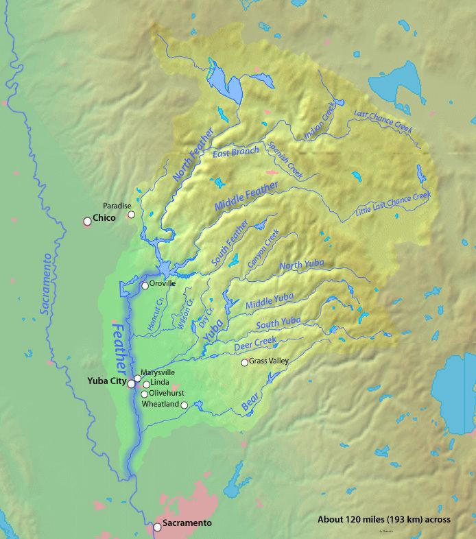
The earthen dam was constructed in 1964 by the California Department of Water Resources with a height of 113 feet (34 m) and a length of 1,320 feet (400 m) at its crest. It impounds Indian Creek for recreation and wildlife conservation, part of the state's larger Upper Feather River Project. The dam is owned and operated by the Department. The entire site is surrounded by the Plumas National Forest.
The reservoir it creates, called Antelope Lake or Antelope Reservoir, has a water surface of 931 acres (377 ha), a forested shoreline of about 15 miles (24 km), a maximum capacity of 47,466 acre feet (58,548,000 m3), and a normal capacity of 22,566 acre feet (27,835,000 m3). Recreation includes fishing (for stocked rainbow and brook trout, smallmouth bass, largemouth bass, and channel catfish), camping in the 194 campsites of the surrounding Antelope Lake Recreation Area, boating, swimming, hunting and hiking.