
UBIGEO 0803 Area 1,876 km² | Website www.anta.cus.mp.gob.pe Region Cusco Region | |
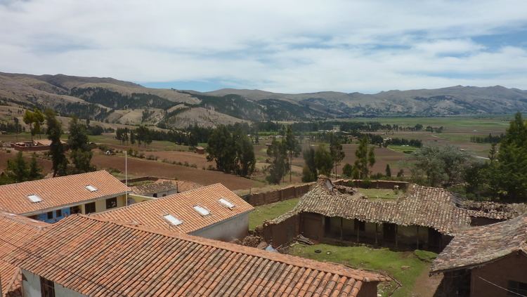 | ||
Anta Province is one of thirteen provinces in the Cusco Region in the southern highlands of Peru.
Contents
Map of Anta Province, Peru
Geography
The Willkapampa mountain range traverses the province. The highest peak of the province is Sallqantay at 6,271 metres (20,574 ft). Other mountains are listed below:
Political division
The province is divided into nine districts (Spanish: distritos, singular: distrito), each of which is headed by a mayor (alcalde). The districts, with their capitals in parenthesis, are:
Ethnic groups
The people in the province are mainly indigenous citizens of Quechua descent. Quechua is the language which the majority of the population (70.28%) learnt to speak in childhood, 29.35% of the residents started speaking in Spanish.
References
Anta Province Wikipedia(Text) CC BY-SA