
Population 14,389 (2013) | Time zone GMT Local time Sunday 2:49 AM | |
 | ||
Weather 26°C, Wind W at 5 km/h, 92% Humidity | ||
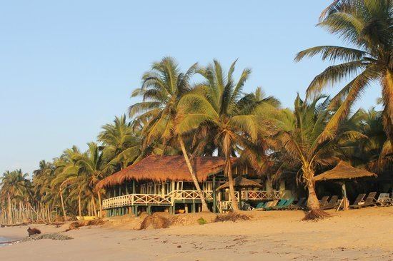
Anomabu, also spelled Anomabo and formerly as Annamaboe, is a town on the coast of the Mfantsiman Municipal District of the Central Region of Ghana. Anomabu has a settlement population of 14,389 people.
Contents
Map of Anomabo, Ghana
History
Fort William, also known as Anomabu Castle, was designed by the British engineer John Apperley and constructed between 1753 and 1760. It is about 16 kilometers (10 mi) from Cape Coast Castle. After his death in 1756, Irishman Richard Brew took over the Governorship of the fort and continued its construction. The Anomabu fort became the center of British slave trading along the Gold Coast until the practice was outlawed in 1807. In the same year, a small garrison successfully resisted the entire Ashanti army, although the city suffered greatly from the attack. In the later 19th century, it exported in palm oil, ivory, gold dust, peanuts, and Guinea grains in exchange for considerable imports of manufactured goods. Its population in the 1870s was around 4500.
Originally a small fishing village, Annamaboe eventually became one of the most important trading ports on the Gold Coast. By the 18th century, the town had become one of the largest exporters of slaves on the West Coast of Africa.
Tourism
In modern times, Anomabu is a popular tourist destination. The remains of Fort William can still be seen.