
Intercommunality Pays Rethélois Area 12.31 km² | Population (2009) 140 Local time Sunday 1:38 AM | |
 | ||
Weather 4°C, Wind S at 8 km/h, 72% Humidity | ||
Canyon gourg des annelles mai 2014
Annelles is a French commune in the Ardennes department in the Grand Est region of northern France.
Contents
- Canyon gourg des annelles mai 2014
- Map of 08310 Annelles France
- Geography
- Administration
- Demography
- Religious heritage
- The oldest families
- Notable people linked to the commune
- References
Map of 08310 Annelles, France
The inhabitants of the commune are known as Annellois or Annelloises
Geography
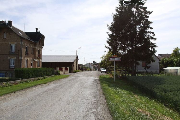
Annelles is located some 10 km south-east of Rethel and 4 km north-east of Juniville. It can be accessed by the D25 road from Juniville which passes through the heart of the commune and the village and continues to Saulces-Champenoises in the north-east. Apart from the village the commune is entirely farmland.
Administration
List of Successive Mayors
(Not all data is known)
Demography
In 2009 the commune had 140 inhabitants. The evolution of the number of inhabitants is known from the population censuses conducted in the commune since 1793. From the 21st century, a census of communes with fewer than 10,000 inhabitants is held every five years, unlike larger towns that have a sample survey every year.
Sources : Ldh/EHESS/Cassini until 1962, INSEE database from 1968 (population without double counting and municipal population from 2006)
Religious heritage
The Church contains 3 Paintings: The Descent from the Cross, Christ and the Samaritan, and the Apparition of Madeleine (18th century) which are registered as historical objects.
The oldest families
From the 1600s onwards the most prominent families were: Rogelet, Mahaut, Desterbay, Thierard, Vuibert, Hinguerlot, Guillet, Micart, Carrelot, Bonnevie, Perinet, Detez, Coutin, Fricoteau, Tocut, Giot, Forest, Verdelet, Lacour, Misset, Bechard, Mayot, Fequant, Lambert, Guillemin, Prévoteau, Soibinet, Simon, Melin, and Gobron.