
Country Guyana Number of airports 1 | Local time Saturday 5:20 PM | |
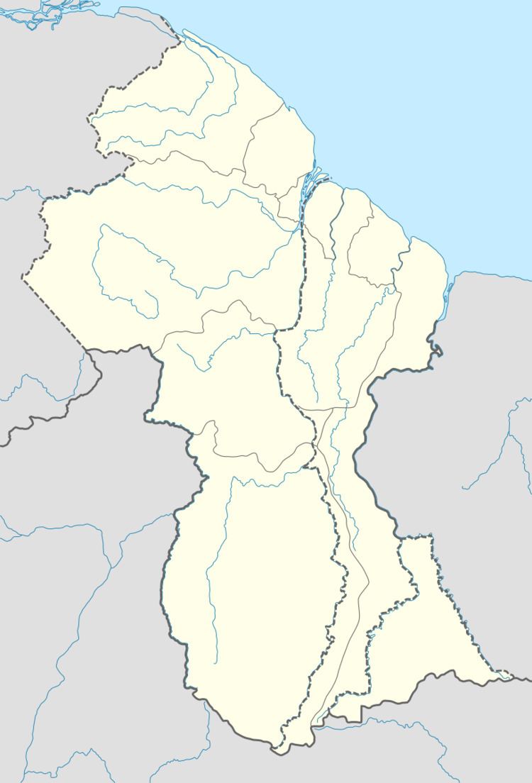 | ||
Region Upper Takutu-Upper Essequibo Weather 28°C, Wind NE at 19 km/h, 67% Humidity | ||
Annai georgetown guyana south america charter flights satellite dish technician mark erney
Annai is a small village in the Upper Takutu-Upper Essequibo Region of Guyana. Annai stands at an altitude of 95 metres (314 feet), at the edge of the Rupununi savannah, where the cattle trail to the Atlantic coast begins. It is nestled in the foothills of the Pakaraima Mountains, and is close to the Rupununi River. Annai, considered to be the gateway to the Rupununi, is approximately 15 miles north of Karanambo and is 416 km (258 mi) by road from the nation's capital, Georgetown.
Contents
- Annai georgetown guyana south america charter flights satellite dish technician mark erney
- Map of Annai Guyana
- References
Map of Annai, Guyana
Much of the population of the area are members of the Macushi people. Annai is one of the northern-most Macushi Amerindian villages in the North Rupununi Savannahs.
Annai is home to the Rock View Ecotourism Resort, an old ranch built in the 1950s. Rock View is a good base for trips to the Iwokrama Canopy Walkway.
Annai's airstrip (NAI) allows light planes to land.