
Prominence 231 m (758 ft) Topo map OSi Discovery 62 Province Leinster Listing Marilyn | Location Wexford, Ireland OSI/OSNI grid T100680 Elevation 454 m Range Wicklow Mountains | |
 | ||
Annagh Hill (An tEannach) meaning marsh or bog in Gaelic. It is a Hill in the North of Co. Wexford.
Contents
Map of Annagh Hill, Annaghgap, Co. Wexford, Ireland
There is said to be a Fairy Ring on the Hill along with other Iron Age sites. The South side of the Hill is privately owned by long standing family's in the area,But the North side is owned by Coillte .
Geography
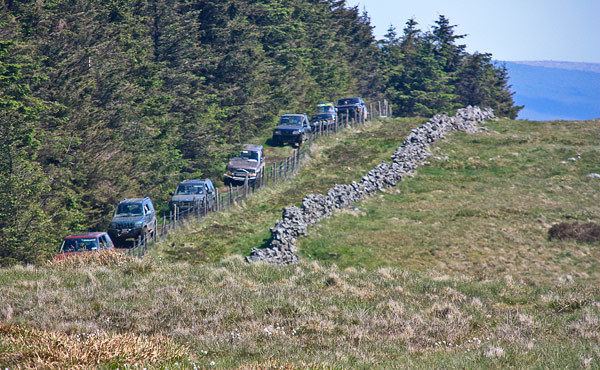
Annagh Hill is separated from Croghan Mountain to the north by the "Wicklow Gap", not to be confused with the Wicklow Gap in County Wicklow. Except for the southeastern face (see photo) it is covered in coniferous forestry.
It overlooks the villages of Monaseed and Hollyfort to the south, across the valley of the Blackwater stream
References
Annagh Hill Wikipedia(Text) CC BY-SA