
Postcode 1760-1766 Website www.annapaulowna.nl Population 13,999 (1 Jan 2007) | Time zone CET (UTC+1) Area code(s) 0223, 0224 Area 78.81 km² Local time Saturday 9:42 PM | |
 | ||
Weather 7°C, Wind SW at 42 km/h, 89% Humidity | ||
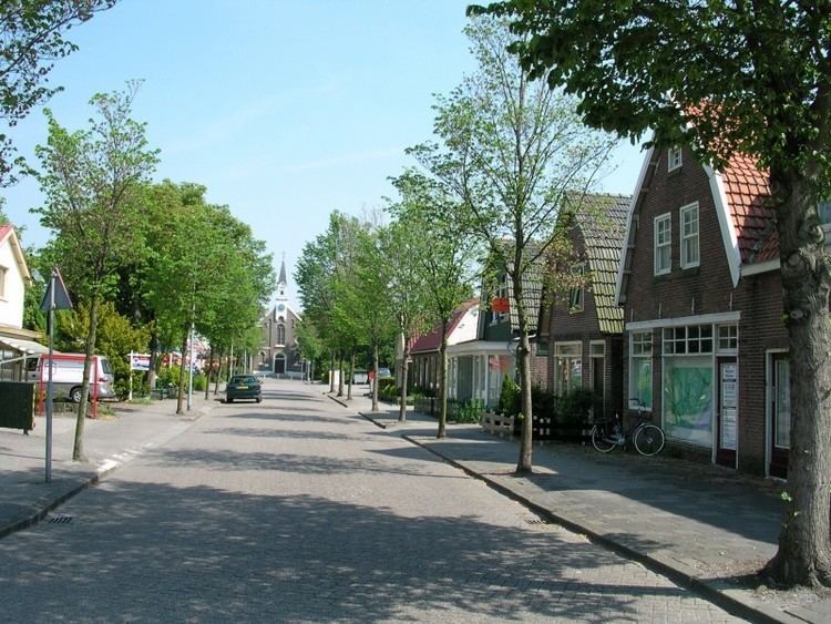
Anna Paulowna ( pronunciation ) is a former municipality and a town in the Netherlands, in the province of North Holland. The former municipality derives its name from the Anna Paulownapolder, which was laid dry in 1846 during the reign of King William II of the Netherlands and in turn named after his wife, Queen Anna Paulowna of Russia. Since 2012, Anna Paulowna has been a part of the new municipality of Hollands Kroon.
Contents
Map of Anna Paulowna, Netherlands
Population centres
The former municipality of Anna Paulowna consisted of the following cities, towns, villages and/or districts: Anna Paulowna, Breezand, Nieuwesluis, Van Ewijcksluis, and Wieringerwaard.
Transportation
The town is served by Anna Paulowna railway station.
Local government
The former municipal council of Anna Paulowna consisted of 15 seats. After the Dutch municipal elections of 2010 the seats were divided as follows: