
Type Street Length 3 km (1.9 mi) | Location Brisbane Major cities Brisbane | |
 | ||
Northeast end Montpelier Road / Skyring Terrace Major suburbs Brisbane CBDFortitude Valley Via Brisbane central business district, Fortitude Valley | ||
Level 19 333 ann street brisbane queensland
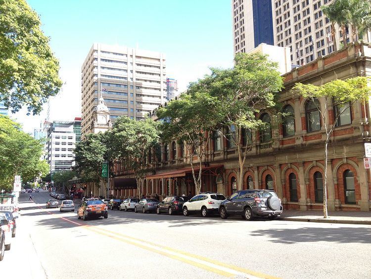
Ann Street runs parallel to Adelaide Street and is the northern-most street in the Brisbane CBD in Queensland, Australia. It is a major thoroughfare, linking as a four-lane one-way street the suburb of Fortitude Valley in the northeast with the Riverside Expressway in the southwest; house numbers run the opposite direction.
Contents
- Level 19 333 ann street brisbane queensland
- Map of Ann St Queensland Australia
- Major intersections
- Heritage listings
- References
Map of Ann St, Queensland, Australia
Parks and buildings along Ann Street include the State Law Building, Central Railway Station, Brisbane City Hall, King George Square, King George Central, and also ANZAC Square and the Shrine of Remembrance (both of which commemorate Australia's and New Zealand's war dead). The now demolished Canberra Hotel (1929–1987) was located on the corner of Ann and Edward Streets.
Each year, on ANZAC Day (25 April), a dawn memorial service is held at the Shrine of Remembrance, with wreaths being laid around the eternal flame in memory of those who died in conflict. There is also a memorial service held each year on Armistice Day (11 November) and wreaths are again laid at the eternal flame. The shrine was dedicated on Armistice Day in 1930.
King George Square busway station has entrances from King George Square and is accessible from Ann Street.
Ann Street is home to several historic Brisbane churches including St John's Cathedral, Ann Street Church of Christ and St Andrew's Uniting Church. Access to some facilities of All Saints Anglican Church is from Ann Street.
Major intersections
Heritage listings
Ann Street has a number of heritage-listed sites, including: