
East end Ann Street | Major cities Brisbane | |
 | ||
Location Brisbane central business district West end Victoria Bridge, North Quay Major
junctions George Street, Albert Street, Edward Street, Creek Street, Adelaide Street Status Partially pedestrianised | ||
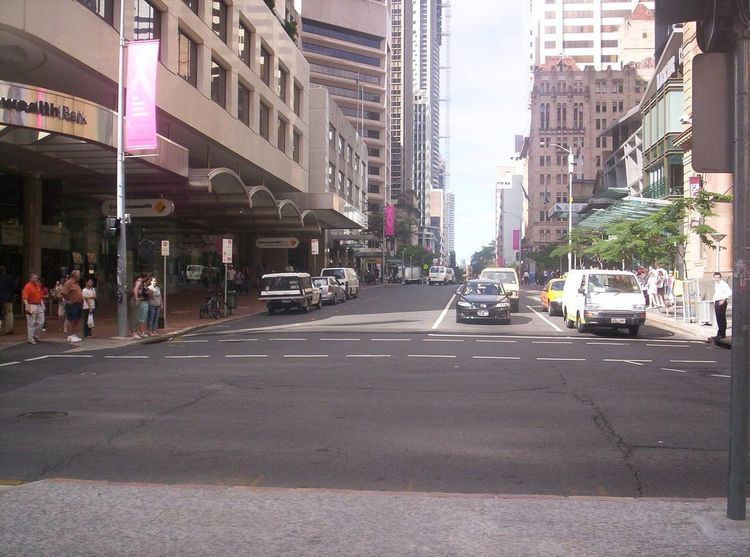
Queen Street is the main street of Brisbane, the capital of Queensland, Australia.
Contents
- Map of Queen St Brisbane City QLD 4000 Australia
- Geography
- History
- Heritage listings
- Major intersections
- References
Map of Queen St, Brisbane City QLD 4000, Australia
The western part of the street is covered by a new plaza at the base of Brisbane Square and underneath part of the western half is the Queen Street bus station.
Queen Street is heavily built up with arcades, shops, hotels, offices and apartment high-rises such as MacArthur Central, Brisbane Square, Central Plaza, Aurora Tower, Treasury Casino, Wintergarden, Broadway on the Mall, The Myer Centre and QueensPlaza. Queen Street is also the location of Brisbane's General Post Office.
Geography
Queen Street is the city's central road, partly covered by a pedestrian mall called the Queen Street Mall. It ends at the Victoria Bridge and is bounded by two of the Brisbane River's central reaches. Uptown at the top of the mall is George Street.
The next street parallel to the south is Elizabeth Street, while Adelaide Street is the next parallel street to the north.
History
Before 1842 and free settlement, Queen Street was originally a track leading from the main section of the early Moreton Bay Penal Colony, crossing a stream known as Wheat Creek with a deviation going up to the Windmill. In early 1840, a surveyor named Dixon drew up a survey for the central Brisbane streets with all streets 66 feet (20 metres) wide. Changes were then made to this plan with square blocks flattened into a rectangular grid with streets becoming 1.4 chains (27 metres). On Governor Gipps' visit to Brisbane Town in March 1842, Gipps remarked that Brisbane Town was "simply an ordinary provincial settlement", which would need no grand avenues. As a result, Gipps moved the planned width of Queen Street, along with other streets, back to 66 feet (20 metres), arguing that this change would mean that buildings could be kept out of the sun.
Later, there was compromise with the main street that would be known as Queen Street, with the western boundary's width changed to 1.2 chains (24 metres).
The first sitting of Legislative Assembly of Queensland in May 1860 occurred in the old converted convict barracks on Queen Street.
In 1864, there were two significant fires along the street. The September 1864 fire started in the Little Wonder store on Edward Street which destroyed 14 shops in Queen Street. This event later became known as Bulcock's Fire. On 1 December 1864, the Great Fire of Brisbane started within the cellar of a Queen Street drapery store which burnt down buildings bordering Queen Street, as well as Albert Street, Edward Street, George Street and Elizabeth Street. Brisbane Courier described the fire as "the whole of the business premises and private residences...were, in a couple of hours, reduced to a heap of ruins".
On 9 December 1882, a demonstration of electricity was conducted with eight arc lights along Queen Street. Power was supplied by a 10 hp generator driven by a small engine in a foundry in Adelaide Street. This was Australia's first recorded use of electricity for public purposes.
In 1902, part of Queen Street was not paved or sealed although stormwater drainage was well maintained.
Queen Street is historically significant as it contains MacArthur Central, the building in which the American General Douglas MacArthur had his South West Pacific headquarters (from July 1942 to November 1944) during World War II and directed the Allied Forces campaign. The former AMP building was later renamed MacArthur Central as a tribute to General MacArthur.
Tram services along Queen Street were converted to buses on 14 April 1969.
Heritage listings
There are many heritage-listed buildings in Queen Street, including: