
Source elevation 400 m | Length 54 km Mouth Atlantic Ocean | |
 | ||
Main source Xalo mounts , Province of A Coruña, Galicia.400 m (1,300 ft) | ||
Poetarras anll ns
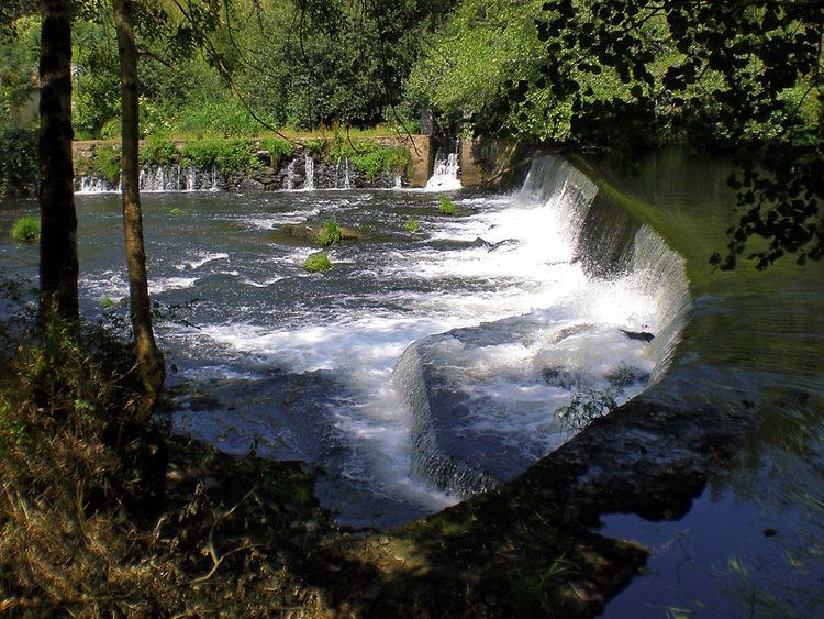
The Anllóns is a Galician river that begins in the Xalo Mountains at an elevation of 400 metres (1,300 ft) above sea level and flows into the Atlantic via the Ria of Corme and Laxe.
Contents
Map of R%C3%ADo Anll%C3%B3ns, A Coru%C3%B1a, Spain
Along its 54.4-kilometre (33.8 mi) course, it crosses the municipalities of Cabana de Bergantiños, Carballo, Cerceda, Coristanco and Ponteceso. Its average flow is 9.931 cubic metres per second (350.7 cu ft/s).
It was declared a Site of Community Importance in the year 2001. It is fed by brooks like the Graña, Quenxe, Acheiro, Abaixo, Queo or Bertón during its high course. After the pass at Mount Neme, it receives the water of the brooks Gándara, Bandeira, Vao, Galvar, Portecelo or Batán, and in its low course its tributaries include the brooks Lourido, Ponteceso, Prados and Bouzas.