
Local time Sunday 3:05 AM | Administrative divisions 20 tong, 22 ri Province South Pyongan | |
 | ||
Weather -5°C, Wind S at 0 km/h, 90% Humidity | ||
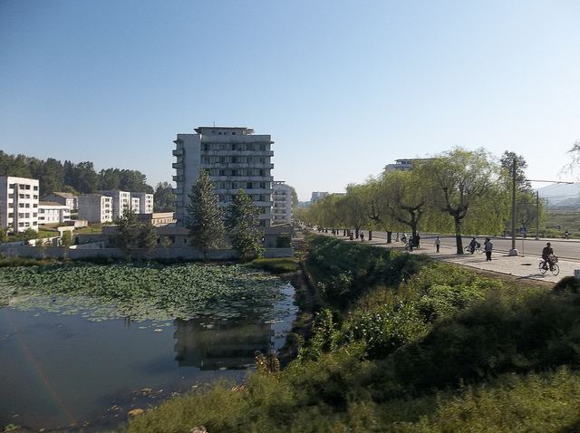
Anju-si ([an.dzu]) is a city in the South P'yŏngan province of North Korea, and is located at the coordinates of 39.62°N 125.66°E / 39.62; 125.66. Its population was 240,117 in 2008. The Ch'ongch'on River passes through Anju.
Contents
Map of Anju, South Pyongan, North Korea
Administrative Divisions
Anju-si is divided into 20 tong (neighbourhoods) and 22 ri (villages):
Economy
Anju lies near large deposits of anthracite coal, and contains one of the largest coal production facilities in the country. The deposits contain more than 130 million metric tons of coal. Namhŭng-dong is the location of the Namhŭng Youth Chemical Complex, one of North Korea's most important chemical combines.
Transportation
Anju-si is served by several stations on the P'yŏngŭi and Kaech'ŏn lines of the Korean State Railway.
References
Anju, South Pyongan Wikipedia(Text) CC BY-SA