
Country India District Ernakulam PIN 686670 Population 2,245 (2011) | State Kerala Time zone IST (UTC+5:30) Telephone code 0485 | |
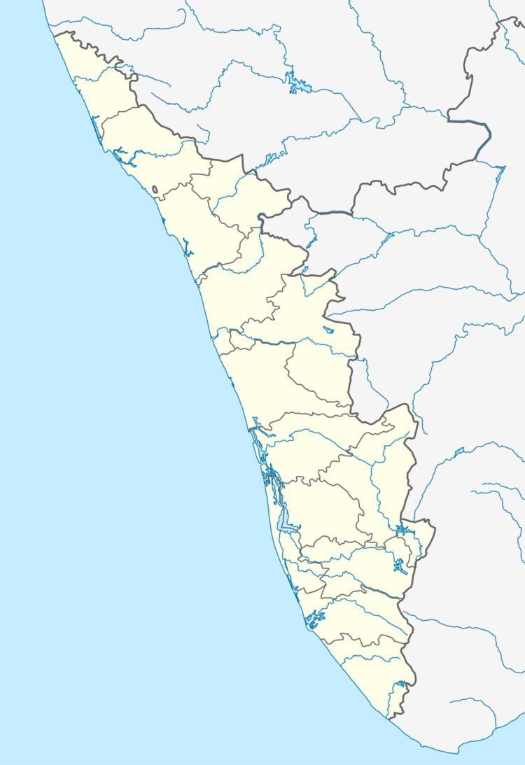 | ||
Anikkad (Anicadu - ആനിക്കാട്) is a village in Ernakulam district in the state of Kerala, India. It lies nearly to Muvattupuzha in Avoly Panchayat.
Contents
Location
Anicadu is situated in Muvattupuzha taluk of Kerala State, in Main Eastern Highway in between Muvattupuzha - Vazhakulam 4KM from Muvattupuzha, 4KM to Vazhakulam and 12KM to Thodupuzha. The economy of Anicadu is reliant on agriculture, and the main cultivations are rubber and pineapple.
Nearby towns
The nearby main towns are Muvattupuzha, Thodupuzha, Kothamangalam, Koothattukulam. There are many small suburban towns close to Anicadu like Vazhakulam, Kalloorkkad, Pothanicad etc.
Transportation
KL-17 is the RTO code for Muvattupuzha including Anicadu Village. Muvattupuzha KSRTC depot is located on MC Road towards south of the Muvattupuzha town just 4KM away from Anicadu. The nearest major railway stations are Thrippunithura which is 35 km away, Aluva which is 40KM away, Ernakulam South which is 45KM away and Ernakulam North which is 45KM away. The Cochin International Airport at Nedumbassery is 35KM away from Anicadu.
Demographics
As of 2001 India census, Anikkad had a population of 2245 with 1081 males and 1164 females.
Government
The place falls under Muvattupuzha assembly constituency, which is part of Idukki (Lok Sabha constituency). It was part of Muvattupuzha (Lok Sabha constituency) until 2004.