PIN 521190 Elevation 42 m Local time Saturday 8:36 PM Area code 08678 | Time zone IST (UTC+5:30) Telephone code 08678 Area 20.38 km² Population 8,062 (2011) | |
 | ||
Weather 28°C, Wind S at 6 km/h, 50% Humidity | ||
Anigandlapadu
Anigandlapadu is a village in Penuganchiprolu mandal, Krishna District, Andhra Pradesh, India.
Contents
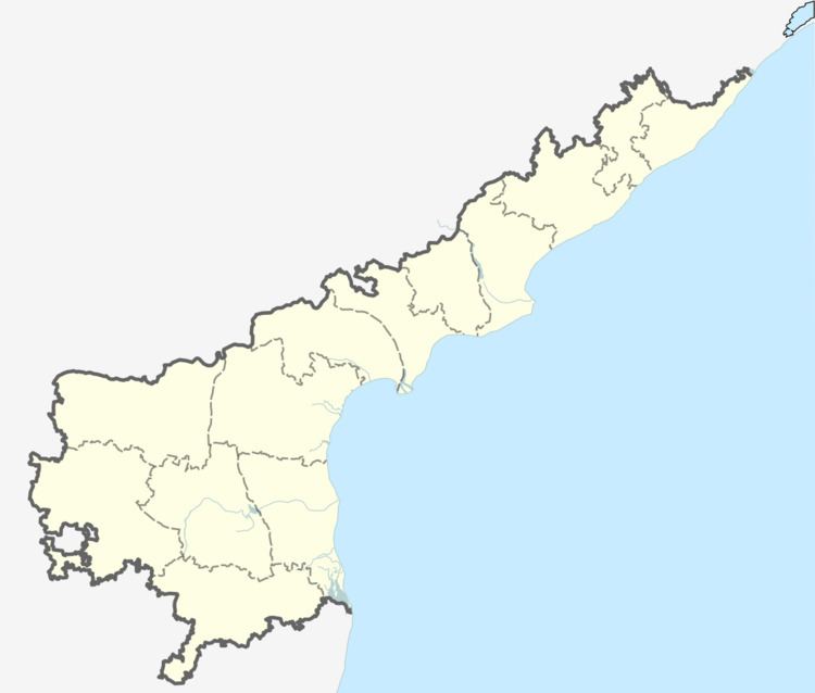
Map of Anigandlapadu, Andhra Pradesh 521190
It is about 20 km east of Jaggayyapeta and 20 km north of Nandigama
Geography
Anigandlapadu is located at 16°53′31″N 80°17′13″E. It has an average elevation of 42 metres (141 feet).
References
Anigandlapadu Wikipedia(Text) CC BY-SA
