PIN 689589 Area 19.04 km² Area code 0469 | Time zone IST (UTC+5:30) Telephone code 0469 Local time Saturday 8:22 PM | |
 | ||
Weather 28°C, Wind SW at 5 km/h, 76% Humidity | ||
Anicadu is a village around 4 km from Mallapally. It belongs to the Pathanamthitta District.
Contents
- Map of Anicadu Kerala 689589
- Overview
- Churches
- Temples
- Government Institutions
- Roads
- Educational institutions
- References
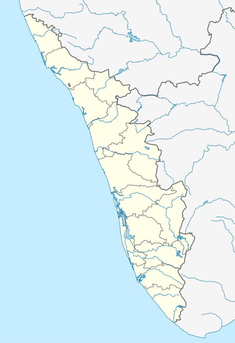
Map of Anicadu, Kerala 689589
Overview
Mallapally is the nearest town. Nedumkunnam is around 5 km from this village.Karukachal is 7 km, Kottayam 26 km and Thiruvalla 19 km from this village. Nooromave is the capital area and major business hub of this village.
The river Manimalayar passes through this village. There is a "kadavu" called Kavanal Kadavu in Pullukuthy. There is a government LP school in Pullukuthy. A milma dairy and an anganvadi are also situated here. The only English Medium school in this village is named Bappuji English Medium School which has been there for more than twenty years. Pulickamala is a beautiful hill in this village and ancient pilgrimage centre malankotta devasthanam here. People in this village are called as 'Anicadans'. Major income of the villagers are from rubber tree plantation and money remitted from Arabian countries by NRI Anicadans. Anicadans are known for keeping their traditional and moral family values in high esteem.
Churches
https://web.archive.org/web/20130819135635/http://pathicadchurch.co.in http://pathicaduoschurch.org/
Temples
Government Institutions
Roads
There is one main road through this village that connects Mallapally to this village. It passes through Pullukuthy, Muttathumave, Noorommave, Kulathunkal Kavala and goes to Punnavely.
Other Roads are:
