
Intercommunality Suisse Normande Area 3.72 km² | Region Normandy Population (2010) 34 Local time Saturday 2:13 PM | |
 | ||
Weather 10°C, Wind S at 27 km/h, 62% Humidity | ||
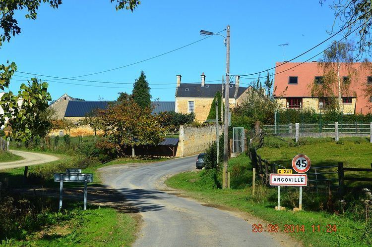
Angoville is a French commune in the Calvados department in the Normandy region of north-western France.
Contents
- Map of 14220 Angoville France
- Geography
- Toponymy
- Administration
- Demography
- Economy
- Civil heritage
- Religious heritage
- References
Map of 14220 Angoville, France
The inhabitants of the commune are known as Angovillais or Angovillaises
Geography
Angoville is located some 30 km south of Caen and 10 km east by south-east of Thury-Harcourt. The D6 road from Thury-Harcourt to Ussy forms the northern border of the commune. Access to the commune is by the D241 road from Tréprel in the south which passes through the length of the commune and the village and continues north to join the D6 on the border. The commune is mostly farmland with an area of forest in the south which is part of the large Bois de Saint-Claire.
Toponymy
Angoville is composed of the old French "ville" (from the Latin "Villae") meaning a rural area or village and a Scandinavian name Asgaut (or Asgautr), gallicized to Asgot, Ansgot, Angot, and Ango - originally the Norman surname Ango and Angot which are widespread in Seine-Maritime.
Administration
List of Successive Mayors of Angoville
(Not all data is known)
Demography
In 2010, the commune had 34 inhabitants. The evolution of the number of inhabitants is known through the population censuses conducted in the town since 1793. From the 21st century, a census of municipalities with fewer than 10,000 inhabitants is held every five years, unlike larger towns that have a sample survey every year.
Sources : Ldh/EHESS/Cassini until 1962, INSEE database from 1968 (population without double counting and municipal population from 2006)
Economy
The main activities are dairy farming and cropping.
Civil heritage
The commune has a number of buildings and structures that are registered as historical monuments:
Religious heritage
The commune has several religious buildings and structures that are registered as historical monuments: