
Area 10.74 km² | Canton Courçon Population (2009) 782 Local time Saturday 12:52 PM | |
 | ||
Weather 11°C, Wind S at 14 km/h, 51% Humidity | ||
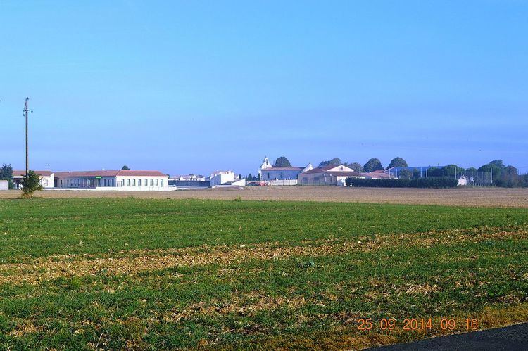
Angliers is a French commune in the Charente-Maritime department in the Nouvelle-Aquitaine region of south-western France.
Contents
- Map of 17540 Angliers France
- Geography
- Transport
- History
- Administration
- Demography
- Distribution of Age Groups
- Civil heritage
- Religious heritage
- References
Map of 17540 Angliers, France
The inhabitants of the commune are known as Anglésiens or Anglésiennes.
Geography
Angliers is located some 15 km north-east of La Rochelle and 15 km south by south-east of Marans. National highway N11 (E601) passes through the north of the commune and there is an exit at the north-eastern tip of the commune to the D109 road which runs south through the commune to Vérines. Access to the village is by a country road off the D109. There is also the D203E1 road running from the hamlet of Saint-Gilles west to Loiré. Apart from the village, there are also the hamlets of Le Grand Peu, Saint-Gilles, and Les Loges. The commune is entirely farmland.
Angliers commune is divided into two clearly distinct parts:
The swamp is drained by the waters of the Curé river which is a small coastal river and serves as the eastern boundary of the commune. This river has its source in the commune of Saint-Georges-du-Bois and becomes a Canal before emptying into the Bay of Aiguillon. It is called the Canal du Curé at Angliers. Formerly, the eastern part of Angliers was always flooded along the road north of the commune that joins the village of Le Grand Peu to Nuaillé-d'Aunis. Angliers is at the southern limit of the Marais Poitevin.
Transport
History
The history of Angliers before Gallo-Roman times has been lost, as with many neighbouring communes. However, a few important remains have been found. Sarcophagi found in the 19th century at Gillebergère are not necessarily from those remote times. Ancient relics are rare but the door of the church dates from 1100/1130. It once came under the Abbey of Nieul-sur-l'Autise. This church has undergone many changes throughout its history mainly because of the Hundred Years War and the Wars of Religion. The fighting that took place around the castles of Benon, Nuaillé-d'Aunis, and Surgères suggest many passages by the Port Bertrand through the east of Angliers to the town of La Rochelle.
Administration
List of Successive Mayors
(Not all data is known)
Demography
In 2009, the commune had 782 inhabitants. The evolution of the number of inhabitants is known through the population censuses conducted in the commune since 1793. From the 21st century, a census of communes with fewer than 10,000 inhabitants is held every five years, unlike larger towns that have a sample survey every year.
Sources : Ldh/EHESS/Cassini until 1962, INSEE database from 1968 (population without double counting and municipal population from 2006)
Distribution of Age Groups
The population of the town is relatively young. The proportion of persons above the age of 60 years (10.3%) is lower than the national (21.6%) and the departmental average (28.1%). Unlike the national and departmental proportions, the male population of the town is greater than the female population (50.5% against 48.4% nationally and 48.2% at the departmental level).
Percentage Distribution of Age Groups in Angliers and Charente-Maritime Department in 2009
Sources:
Civil heritage
The commune has a number of buildings and structures that are registered as historical monuments:
Religious heritage
The commune has several religious buildings and structures that are registered as historical monuments: