
Canton Fontaine-le-Dun Area 3.53 km² | Region Normandy Local time Saturday 12:21 PM | |
 | ||
Weather 8°C, Wind S at 21 km/h, 70% Humidity | ||
Beton imprime anglesqueville la bras long 76740 france www betonimprimeart fr youtube
Anglesqueville-la-Bras-Long is a commune in the Seine-Maritime département of the Haute-Normandie region of northern France.
Contents
- Beton imprime anglesqueville la bras long 76740 france www betonimprimeart fr youtube
- Map of 76740 Anglesqueville la Bras Long France
- Geography
- Places of interest
- References
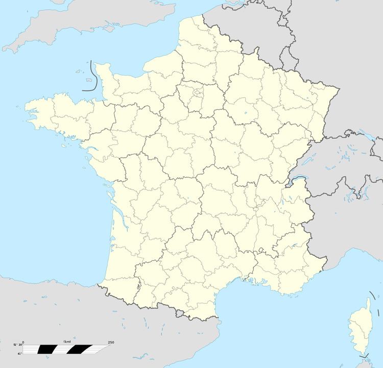
Map of 76740 Anglesqueville-la-Bras-Long, France
Geography
A small farming village situated in the Pays de Caux, some 20 miles (32 km) southwest of Dieppe, at the junction of the D20 and D107 roads.
Places of interest
References
Anglesqueville-la-Bras-Long Wikipedia(Text) CC BY-SA