
Villages 34 Geocode 2101 | Communes 6 Time zone +7 Local time Saturday 6:04 PM Commune 6 | |
 | ||
Weather 32°C, Wind SW at 3 km/h, 52% Humidity | ||
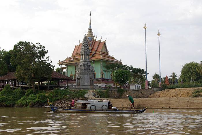
Angkor Borei District (Khmer: ស្រុកអង្គរបុរី) is a district located in Takéo Province, in southern Cambodia. According to the 1998 census of Cambodia, it had a population of 44,980.
Contents
Map of Angkor Borei, Cambodia
History
This ancient city was an important settlement of the Kingdom of Funan and may have been its capital. The site was first excavated during the year 1996 and was again excavated in 1999 as part of the Lower Mekong Archaeological Project. During the 1996 excavation the University of Hawaii and Royal University of Fine Arts initiated the excavation and focused on the sociopolitical complexity during 500BC - AD 500. This first excavation, however, was just a preliminary research. The first objectives were as followed:
1) Documentation of the site's layout and the range of its archaeological features
2) Evaluation of the integrity of subsurface materials and description of the site's stratigraphy
3) collection of samples for dating portions of the archaeological site
4) reconstructing the hydrology and natural environment of the early historic period in this region
In this site various archaeological methods were used such as surface survey and mapping, test excavations, auger sampling and coring, and trenching with a backhoe.
It is the birthplace of Norodom, King of Cambodia from 1860 to 1904.