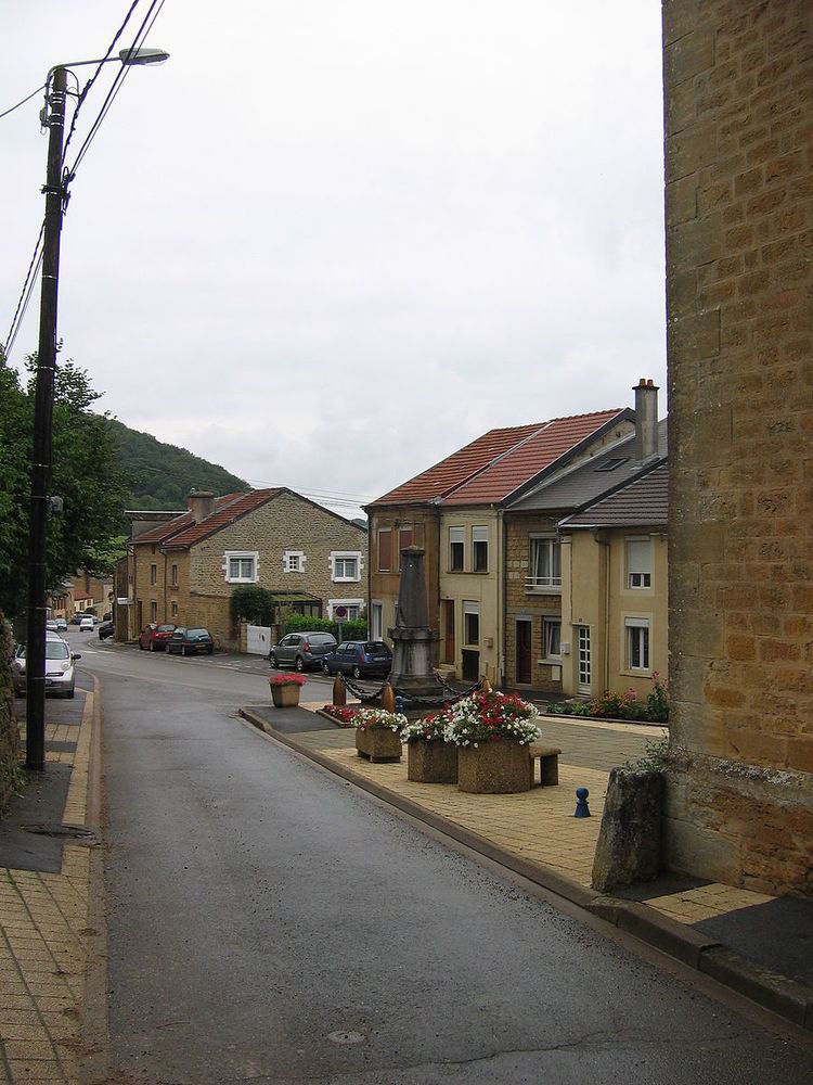
Canton Raucourt-et-Flaba Area 3.73 km² Population 350 (1999) | Intercommunality Trois Cantons Local time Friday 12:12 AM | |
 | ||
Weather 3°C, Wind NE at 0 km/h, 85% Humidity | ||
Angecourt is a French commune in the Ardennes department in the Grand Est region of northern France.
Contents
- Map of 08450 Angecourt France
- Geography
- History
- Administration
- Demography
- Civil heritage
- Religious heritage
- References
Map of 08450 Angecourt, France
The inhabitants of the commune are known as Dadas
The commune has been awarded one flower by the National Council of Towns and Villages in Bloom in the Competition of cities and villages in Bloom.
Geography
Angecourt is located some 8 km south-east of Sedan and 7 km north-west of Mouzon. Access to the commune is by road D6 from Remilly-Aillicourt in the north-east which passes through the commune and the village and continues to Haraucourt in the south-west. About half of the commune in the south and east is forested with the rest farmland.
The Ennemane flows through the commune from south-west to north-east to join the Coupure de Remilly at Remilly-Aillicourt.
History
Administration
List of Successive Mayors
(Not all data is known)
Demography
In 2009 the commune had 352 inhabitants. The evolution of the number of inhabitants is known through the population censuses conducted in the commune since 1793. From the 21st century, a census of communes with fewer than 10,000 inhabitants is held every five years, unlike larger towns that have a sample survey every year.
Sources : Ldh/EHESS/Cassini until 1962, INSEE database from 1968 (population without double counting and municipal population from 2006)
Civil heritage
A Spinning Mill at 15 Rue du Chateau (19th century) is registered as an historical monument.
