
Country Brazil Area 1,029 km² | Time zone BRT/BRST (UTC-3/-2) Local time Thursday 8:09 PM | |
 | ||
Weather 23°C, Wind NE at 8 km/h, 85% Humidity | ||
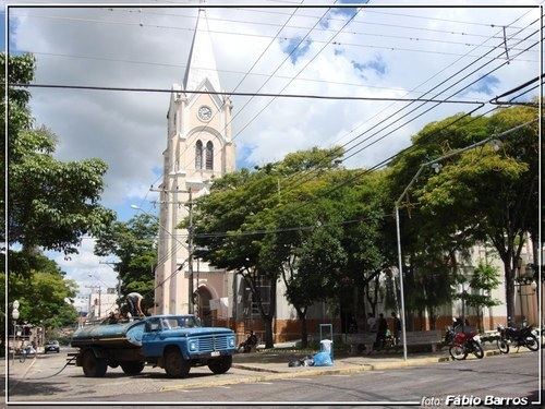
Angatuba is a Brazilian municipality in the state of São Paulo. The population is 24,161 (2015 est.) in an area of 1028 km². The highway Rodovia Raposo Tavares passes south of the city.
Map of Angatuba, State of S%C3%A3o Paulo, Brazil
There is controversy about the meaning of the name Angatuba. It is a Tupi-Guarani word for "house of spirits" or "sweet fruit". Angatuba was founded in 1872, under the name Espírito Santo da Boa Vista. It became a town (vila) and an independent municipality in 1885, when it was separated from Itapetininga. It was elevated to a city (cidade) in 1906. The name was changed to Angatuba in 1908. In 1991 Campina do Monte Alegre was separated from Angatuba.
The municipality contains the 1,394 hectares (3,440 acres) Angatuba Ecological Station, a fully protected conservation unit created in 1985. The ecological station is contained within the Angatuba State Forest. This is a 1,196.21 hectares (2,955.9 acres) sustainable use conservation unit created in 1965.