
Elevation 2,250 m | ||
 | ||
Similar Wadakapiapué‑tepui, Upuigma‑tepui, Wei‑Assipu‑tepui, Uei‑tepui | ||
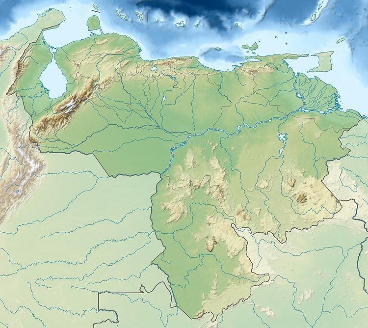
Angasima-tepui, also known as Adanta, Adankasima or Adankachimö, is a tepui in Bolívar state, Venezuela. A relatively isolated peak, both it and nearby Upuigma-tepui lie just south of the vast Chimantá Massif, from which they are separated by the Río Aparurén valley. Amurí-tepui, the closest member of the Chimantá Massif, is only 8 kilometres (5.0 mi) from Angasima-tepui.
Map of Angasima-tepui, Bol%C3%ADvar, Venezuela
The imposing triangular peak of Angasima-tepui has an elevation of around 2,250 metres (7,400 ft). Its summit plateau is heavily windswept, the northern part being dominated by low herbaceous vegetation. A southern peak bears dense tepui scrub. The mountain has a summit area of 2 km2 (0.77 sq mi) and an estimated slope area of 32 km2 (12 sq mi). It is situated entirely within the bounds of Canaima National Park.
The undescribed pitcher plant Heliamphora sp. 'Angasima Tepui' is endemic to the summit region of Angasima-tepui.