
Local time Friday 7:59 AM | Area 139.1 km² Province North Gyeongsang Province | |
 | ||
Administrative divisions 45 administrative ri (15 legal ri), 362 ban Weather 1°C, Wind SW at 11 km/h, 44% Humidity | ||
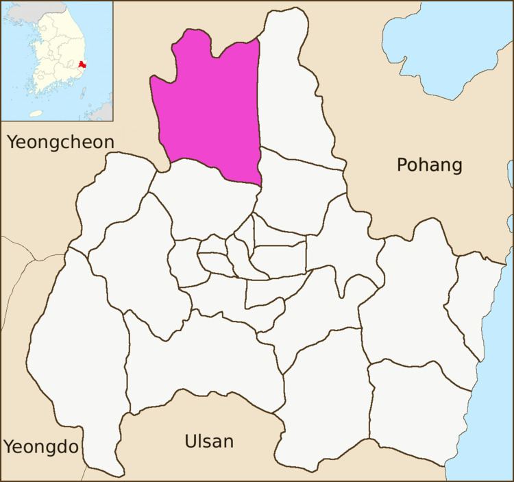
Angang-eup is an eup or a town and is the second-largest subdivision of Gyeongju City. Its 139 square kilometers are home to about 33,300 people, and is served by six elementary schools and two joint middle-high schools. Situated next to Gangdong-myeon in the city's northern tip, it is a significant town in its own right. Angang Station is a regular stop on the Donghae Nambu Line. The town center lies on the Hyeongsan River, near where it meets the small Chilpyeongcheon stream. Important local products include rice, apples, and grapes
Contents
Map of Angang-eup, Gyeongju-si, Gyeongsangbuk-do, South Korea
Administrative divisions
References
Angang-eup Wikipedia(Text) CC BY-SA