Population 270 (2011 census) Mean min temp Annual rainfall | Postcode(s) 4355 Mean max temp Mean min temp Postal code 4355 | |
 | ||
Location 144 km (89 mi) NW of Brisbane65 km (40 mi) NNE of Toowoomba124 km (77 mi) W of Dalby | ||
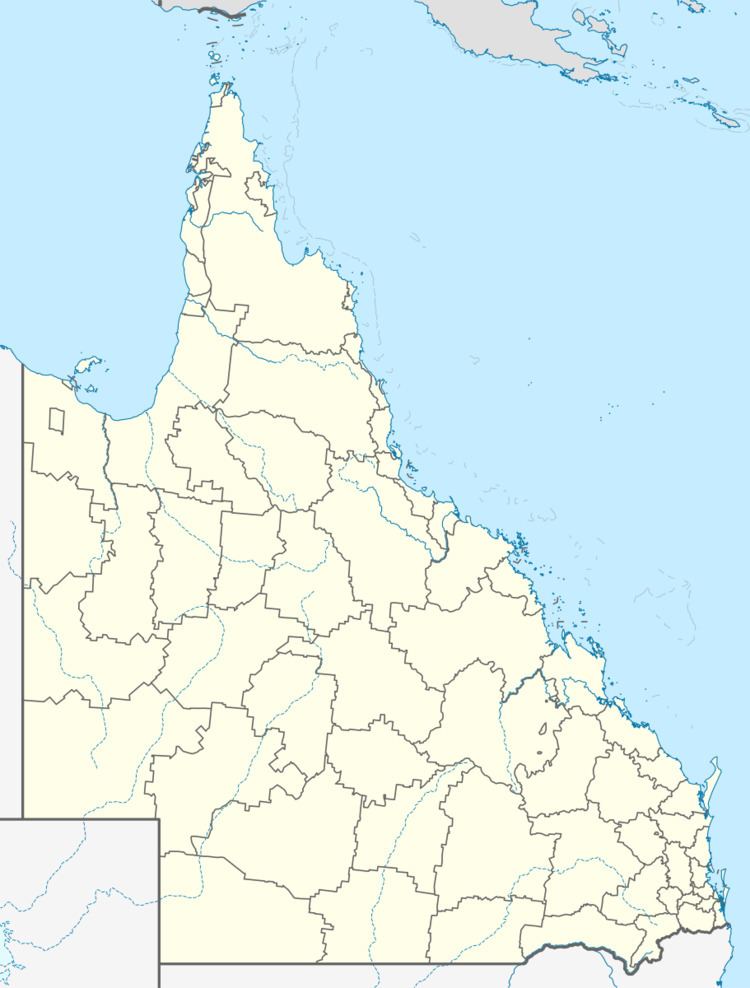
Anduramba is a relatively large locality within the Toowoomba Region local government area. The northeast of the locality is marked by Emu Creek, a tributary of the Brisbane River. At the 2011 Australian Census Anduramba and surrounds recorded a population of 270.
Anduramba was officially named and bounded in February 1999. The boundaries were amended in September 2005 to include the locality of Nudindenda.
References
Anduramba, Queensland Wikipedia(Text) CC BY-SA
