 | ||
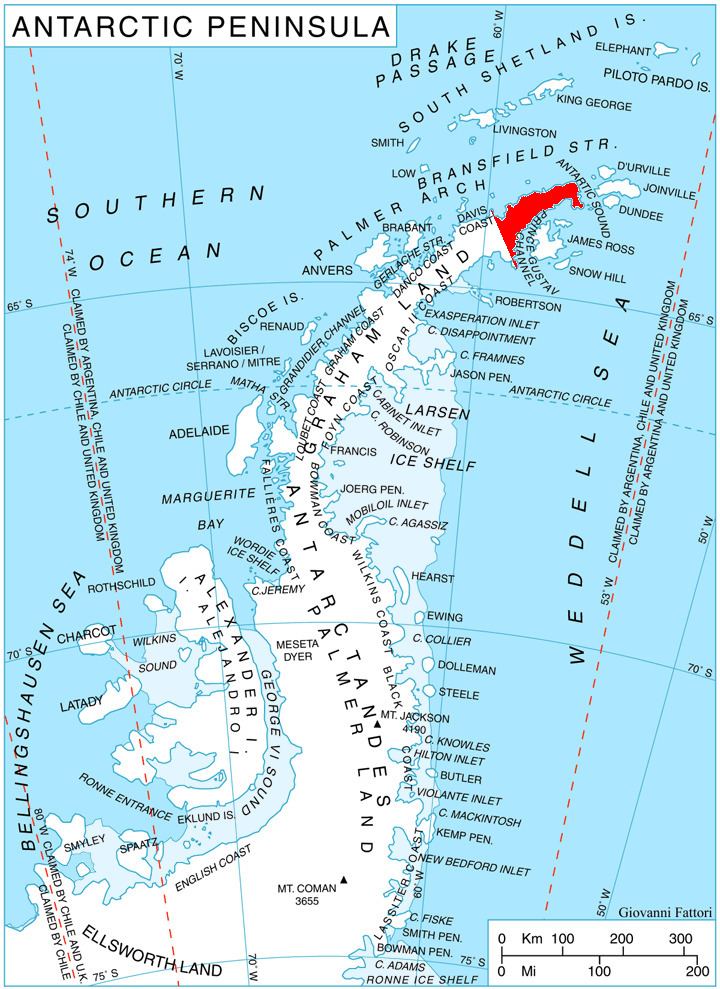
Andrew Glacier (63°53′S 59°40′W) is a glacier 3 nautical miles (6 km) long, flowing northeast into Ognen Cove in Charcot Bay immediately west of the Webster Peaks on Trinity Peninsula, northern Graham Land. It was charted in 1948 by the Falkland Islands Dependencies Survey (FIDS) who named the feature for Dr. James. Darby. Andrew, medical officer at the FIDS Hope Bay station in 1946–47.
Contents
Map of Andrews Glacier, Colorado 80517, USA
Maps
References
Andrew Glacier Wikipedia(Text) CC BY-SA
