
Elevation 125 m Local time Thursday 12:26 AM | GNIS feature ID 0453088 Area 154.1 km² Population 1,557 (2010) | |
 | ||
ZIP codes 47515, 47520, 47577, 47586 Weather 4°C, Wind NW at 14 km/h, 67% Humidity | ||
Anderson Township is one of seven townships in Perry County, Indiana, United States. As of the 2010 census, its population was 1,557 and it contained 644 housing units.
Contents
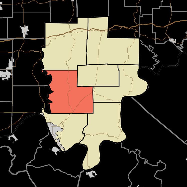
- Map of Anderson Township IN USA
- History
- Geography
- Unincorporated towns
- Cemeteries
- Major highways
- Airports and landing strips
- Lakes
- School districts
- Political districts
- References
Map of Anderson Township, IN, USA
History
Anderson Township was named after the Anderson River.
The Huffman Mill Covered Bridge was listed on the National Register of Historic Places in 1998.
Geography
According to the 2010 census, the township has a total area of 59.5 square miles (154 km2), of which 59.44 square miles (153.9 km2) (or 99.90%) is land and 0.06 square miles (0.16 km2) (or 0.10%) is water.
Unincorporated towns
(This list is based on USGS data and may include former settlements.)
Cemeteries
The township contains these thirteen cemeteries: Avery, Covey, Davis, Dodson, Frakes, Hammack, Hicks, Mackey, Niles, Nixon, Richards, Slaughter and Terry.
Major highways
Airports and landing strips
Lakes
School districts
Political districts
References
Anderson Township, Perry County, Indiana Wikipedia(Text) CC BY-SA