
 | ||
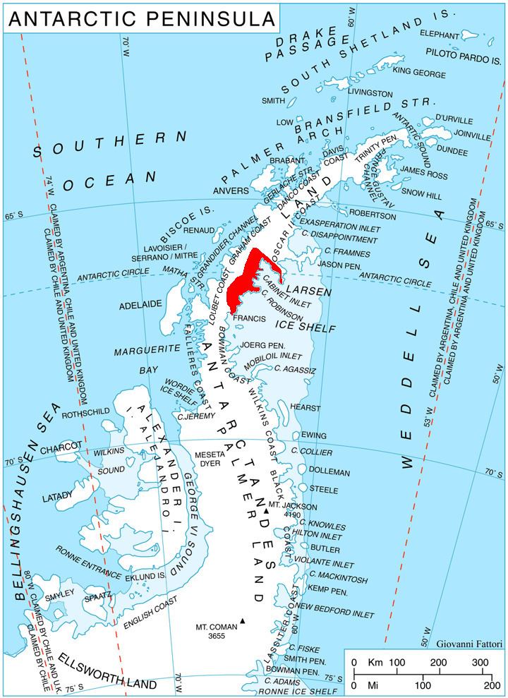
Anderson Glacier is a heavily crevassed glacier 12 nautical miles (22 km) long, flowing southeast into Cabinet Inlet between Cape Casey and Balder Point, on the east coast of Graham Land. It was charted by the Falklands Islands Dependencies Survey (FIDS) and photographed from the air by the Ronne Antarctic Research Expedition in December 1947. It was named by FIDS for Sir John Anderson, M.P., Lord President of the Council and member of the British War Cabinet.
Map of Anderson Glacier, Antarctica
References
Anderson Glacier (Antarctica) Wikipedia(Text) CC BY-SA