Population Uninhabited | ||
 | ||
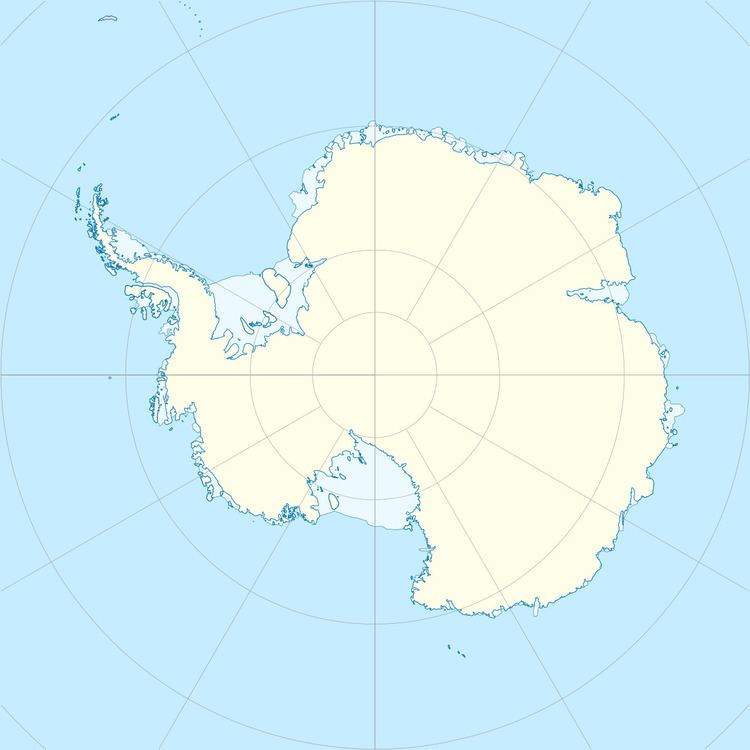
Andersen Island is an island 7 kilometres (4 nmi) west of Thorgaut Island, and 4 kilometres (2 nmi) east of Child Rocks, in the Robinson Group, Antarctica. It was mapped by the British Australian New Zealand Antarctic Research Expedition under Douglas Mawson in February 1931. The island was also charted from the whaler Thorgaut about the same time. It was named after Captain Lars Andersen of the whaler Falk who had assisted the Discovery with coal.
Map of Anderson Island, WA 98303, USA
References
Andersen Island Wikipedia(Text) CC BY-SA
