
Length 67 km Mouth elevation 0 | ||
 | ||
Main source Cerro del Almirez, Almería2,509 metres (8,232 ft) River mouth Mediterranean Sea near Almería0 metres (0 ft) Tributaries Left:Barranco de las Navas, Río Chico Rambla de TicesRight:Barranco de Cacín, Barranco del Portugués, Rambla de Arcora | ||
The Andarax (Spanish: río Andarax)—also, in its lower reaches, Almería River or River Almería (Spanish: río Almería)—is a river in the province of Almería, Andalusia, Spain. It arises in the easternmost part of the Sierra Nevada in the Cerro del Almirez. Its entire course is within the province of Almería. It flows through the Valley of Andarax south of the Sierra Nevada, running eastwards, and joins the River Nacimiento at the village of Terque, below which it is more commonly called the Almería River.
Map of Andarax, Almer%C3%ADa, Spain
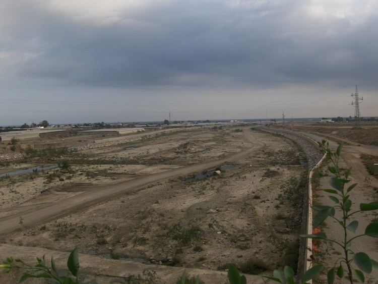
It then turns southwards and passes through the Tabernas Desert, where it receives the intermittent waters of the Rambla de Tabernas, its last significant tributary. It passes through the municipalities of Rioja, Pechina, Viator, and Benahadux, where it waters many citrus orchards. Finally, it reaches the sea on the outskirts of the city of Almería, forming a wide delta. The fertile plain of the delta has been slowly lost to the expanding city of Almería.
In the time of the Roman Empire, the river carried a larger volume of water, and was navigable as far as Pechina.