
Time zone EAT (UTC3) Population 189,882 (2013) | Area 4,051 km² Local time Thursday 8:12 AM | |
 | ||
Weather 25°C, Wind S at 6 km/h, 81% Humidity | ||
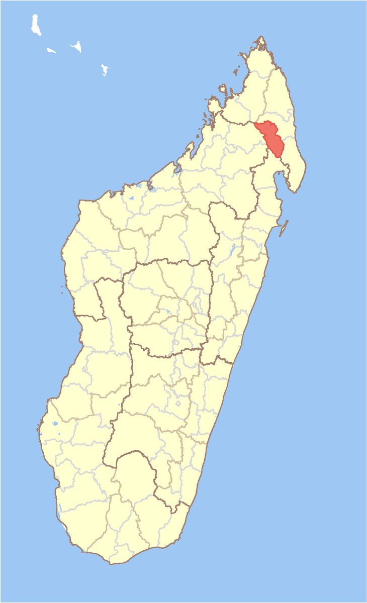
Andapa District is a district in northern Madagascar. It is a part of Sava Region and borders the districts of Ambilobe and Sambava to the north, Antalaha to the east, Maroantsetra to the south, and Befandriana Nord and Bealanana to the west. The area is 4,051.48 km2 (1,564 sq mi) and the population was estimated to be 189,8822 in 2013. The district is further divided into 17 communes:
Map of Andapa, Madagascar
References
Andapa District Wikipedia(Text) CC BY-SA