Province Andahuaylas Time zone PET (UTC-5) Population 34,087 (2005) | Region Apurímac Elevation 2,926 m (9,600 ft) Area code(s) 83 Local time Wednesday 11:45 PM | |
 | ||
Weather 11°C, Wind S at 5 km/h, 97% Humidity Points of interest Museo Andahuaylas, Complejo Arqueológico de Sondor, Parque Lampa de Oro | ||
New year 2016 in andahuaylas per
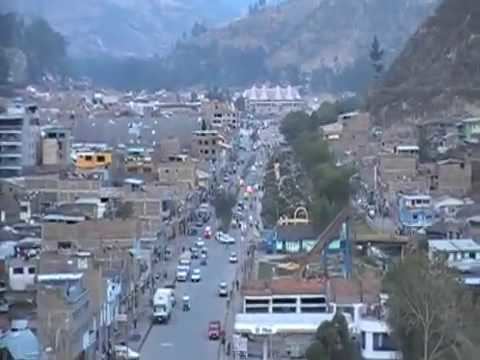
Andahuaylas (Quechua Antawaylla, anta copper, waylla meadow, "copper meadow") is a Peruvian city. It is the capital of the Andahuaylas Province in the Apurímac Region. It is known as the pradera de los celajes (Spanish for "prairie of colored clouds"). Its approximate population of 63 000 inhabitants makes it the first largest city in the region.
Contents
- New year 2016 in andahuaylas per
- Map of Andahuaylas Peru
- Location
- Transportation
- Journal of Andahuaylas
- References
Map of Andahuaylas, Peru
Location
Andahuyalas is located in the western part of the Apurímac Region. The nearest city is Abancay.
Transportation
Andahuaylas is served by its own airport, the Andahuaylas Airport.
Journal of Andahuaylas
Diario Opinión
References
Andahuaylas Wikipedia(Text) CC BY-SA
