
- elevation 1,424 ft (434 m) | - elevation 16 ft (5 m) Country United States of America | |
 | ||
Borough Kenai Peninsula Borough, Alaska | ||
Anchor river chrome
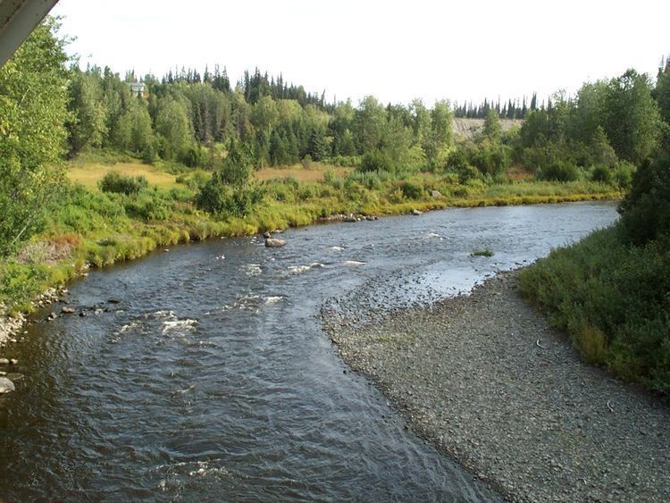
The Anchor River is a stream on the Kenai Peninsula in the U.S. state of Alaska. Beginning near Bald Mountain on the eastern side of the lower peninsula, if flows generally west for 30 miles (48 km) into Cook Inlet near Anchor Point on the western side of the peninsula. The river mouth is 14 miles (23 km) northwest of Homer.
Contents
- Anchor river chrome
- Map of Anchor River Fritz Creek AK USA
- Anchor river alaska big silver on flyrod
- References
Map of Anchor River, Fritz Creek, AK, USA
The middle reaches of the river pass through the Anchor River and Fritz Creek Critical Habitat Area, meant to protect fish and wildlife, especially moose. The lower river intersects North Fork Road and then the Sterling Highway before reaching Anchor and the Anchor River State Recreation Area (SRA) at the coast.
The SRA is a popular spot for camping and fishing in the summer months, when there are salmon runs, and catch-and-release steelhead fishing. Anchor Point, the site of the SRA, is the most westerly point in the U.S. highway system. Anchor Point does not have a harbor, but it has a boat-launch service that uses tractors to pull boats from shore to deeper water.