
Country Nepal District Tanahu District Area 67.3 km² Population 16,382 (2011) | Zone Gandaki Zone Time zone NST (UTC+5:45) Local time Thursday 6:38 AM | |
 | ||
Weather 16°C, Wind NE at 3 km/h, 55% Humidity | ||
Tanahu anbu khaireni
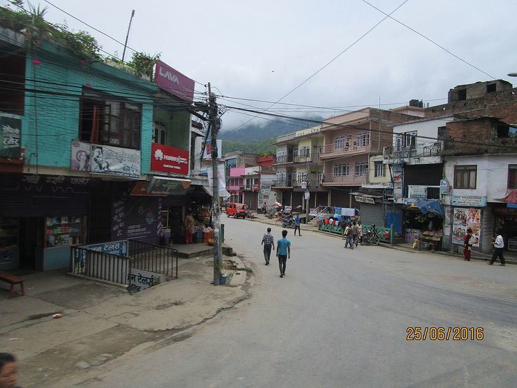
Anbu Khaireni, also Aanbu Khaireni, Aanboo Khaireni or Anbukhaireni, is a Municipality in Tanahu District in the Gandaki Zone of central Nepal established in 2015. At the time of the 1991 Nepal census it had a population of 11.450 people living in 2234 individual households. In the census of 2011 the municipality has 16.382 inhabitants.
Contents
Map of Aanbu Khaireni, Nepal
The Andhi Khola River flows nearby. On its right bank is Satrasaya Phant, which was once a dense forest. The Anpu copper mines lie within a kilometre from the village.
To Promote local culture Anbu khaireni has one FM radio stations Mero Sathi F.M - 107.2 MHz Which is a Community radio Station.
References
Anbu Khaireni Wikipedia(Text) CC BY-SA