Time zone IST (UTC+05:30) Population 5,517 (2011) Area code 03251 | Pincode 723126 Local time Thursday 3:48 AM | |
 | ||
Weather 19°C, Wind SW at 5 km/h, 56% Humidity | ||
Anara is a small town in Para block, Purulia district, West Bengal, India, about 14 km from Adra Junction. Its population was 5,517 in the 2011 Indian census. A saheb bandh is situated here, as well as a baneswar dham.
Contents
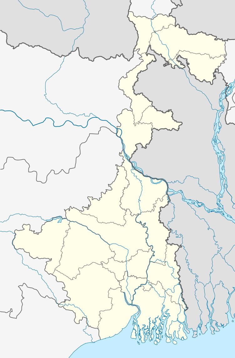
Map of Anara, Chapari, West Bengal 723126
There are two high schools in Anara.
Transport
State Highway 5 (West Bengal) running from Rupnarayanpur (in Bardhaman district) to Junput (in Purba Medinipur district) passes through Bongabari.
References
Anara, Purulia Wikipedia(Text) CC BY-SA
