
Country Suriname Resort (municipality) Tapanahony Local time Wednesday 6:57 PM | District Sipaliwini District Elevation 366 ft (112 m) Number of airports 1 | |
 | ||
Weather 26°C, Wind NE at 8 km/h, 91% Humidity | ||
Anapaike is an indigenous village in Suriname. It is on the banks of the Lawa River, which forms the border with French Guiana. Anapaike is the name of the first tribal chief of the Wayana Indian people. The village has an airstrip.
Contents
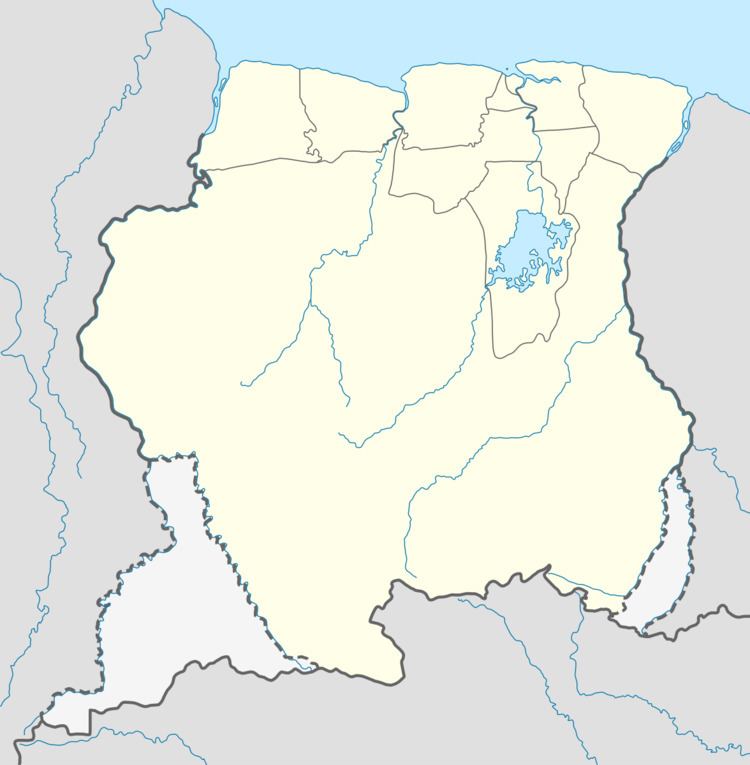
Map of Anapaike, Suriname
Geography
The geographical name of the village is the indigenous word Kawemhaken. This place is located in the jungle in the Tapanahony Resort which belongs to the district Sipaliwini. Farther north on the Lawa River is Benzdorp, a gold-mining place. North of Anapaike are the Dana Mountains, "the Goeje Gebergte," whose highest peak is 2,519 metres (8,264 ft).
References
Anapaike Wikipedia(Text) CC BY-SA