PIN 306301 Elevation 307 m Area code 02939 | Time zone IST (UTC+5:30) Telephone code 02939 Population 8,334 (2001) | |
 | ||
thumbnail
Contents
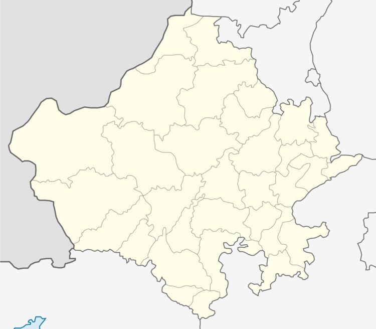
Map of Anandpur Kalu, Rajasthan 306301
Anandpur Kalu is a village in Jaitaran tehsil of Pali district in the Indian state of Rajasthan.
Geography
Anandpur Kalu is located at 26.3667°N 73.9833°E / 26.3667; 73.9833. It has an average elevation of 307 metres (1007 feet).
Demographics
As of 2011 India census, Anandpur Kalu had a population of 8,334. Males constitute 51% (4,276) of the population and females 49% (4,058). The mother tongues are Rajasthani and Hindi. Men wear mainly safa and women wear lahnga.
References
Anandpur Kalu Wikipedia(Text) CC BY-SA
