
Postal codes 06647 Area 44.45 km² Postal code 06647 Municipal assoc. An der Finne | Time zone CET/CEST (UTC+1/+2) Dialling codes 034463, 034465, 034467 Local time Wednesday 11:59 AM Population 1,870 (31 Dec 2008) | |
 | ||
Weather 7°C, Wind SW at 34 km/h, 70% Humidity | ||
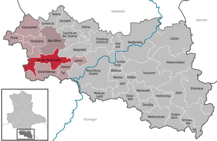
An der Poststraße is a municipality in the Burgenlandkreis district, in Saxony-Anhalt, Germany. It was formed by the merger of the previously independent municipalities Klosterhäseler, Wischroda and Herrengosserstedt, on 1 July 2009.
Contents
Map of An der Poststra%C3%9Fe, Germany
Etymology
The name An der Poststraße translates as at the post road and is derived from the "old post road" between Leipzig and Kassel. This route was of importance until the "Frankfurt-Leipziger-Chaussee" was rolled out through Eckartsberga, Gernstedt and Kösen in the year 1806.
Subdistricts
The following subdistricts belong to the An der Poststraße municipality:
References
An der Poststraße Wikipedia(Text) CC BY-SA