
Intercommunality Pays Châtillonnais | Canton Châtillon-sur-Seine Area 24.4 km² | |
 | ||
Region Bourgogne-Franche-Comté | ||
Ampilly-le-Sec is a French commune in the Côte-d'Or department in the Bourgogne-Franche-Comté region of eastern France.
Contents
- Map of 21400 Ampilly le Sec France
- Geography
- Administration
- Demography
- Civil heritage
- Religious heritage
- References
Map of 21400 Ampilly-le-Sec, France
The inhabitants of the commune are known as Ampilliaciens or Ampilliaciennes alternatively Ampellois or Ampelloises
Geography
Ampilly-le-Sec is located some 5 km south by south-west of Chatillon-sur-Seine and 15 km east by south-east of Laignes. It can be accessed by the D980 highway from Chatillon-sur-Seine which passes through the village and continues south to Coulmier-le-Sec. The D971 from Buncey to Chamesson also passes through the eastern edge of the commune. From the D971 the D29A goes west through the village then continues to the south-west. The western third of the commune is heavily forested with the rest being entirely farmland.
The Seine River passes through the east of the commune parallel to the D971 flowing from south to north.
Administration
List of Successive Mayors
(Not all data is known)
Demography
In 2009 the commune had 362 inhabitants. The evolution of the number of inhabitants is known through the population censuses conducted in the commune since 1793. From the 21st century, a census of communes with fewer than 10,000 inhabitants is held every five years, unlike larger towns that have a sample survey every year.
Sources : Ldh/EHESS/Cassini until 1962, INSEE database from 1968 (population without double counting and municipal population from 2006)
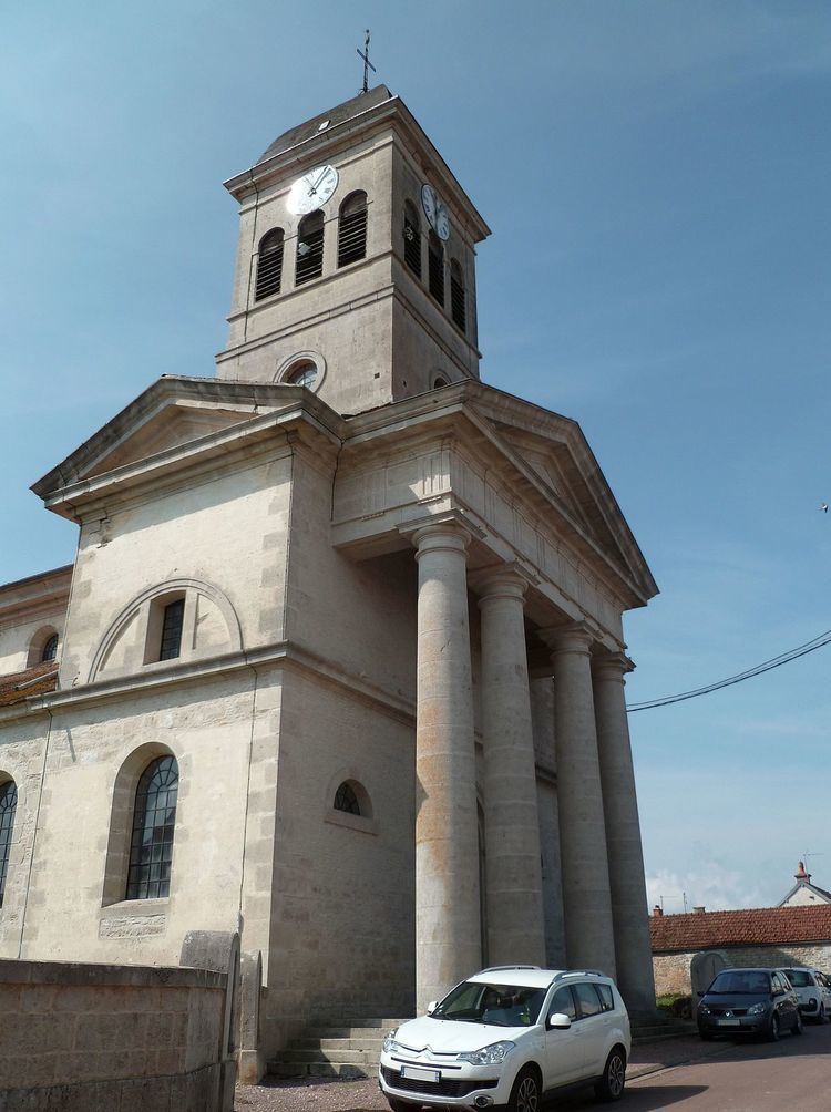
Civil heritage
The commune has a number of buildings and structures that are registered as historical monuments:
Religious heritage
The commune has several religious buildings and sites that are registered as historical monuments: