
Basin size 3,100 km (1,200 sq mi) Discharge 45 m³/s Bridges Echelsbacher Brücke | Length 185 km Country Germany | |
 | ||
Main source Northern Limestone Alps Cities Dachau, Moosburg, Fürstenfeldbruck | ||
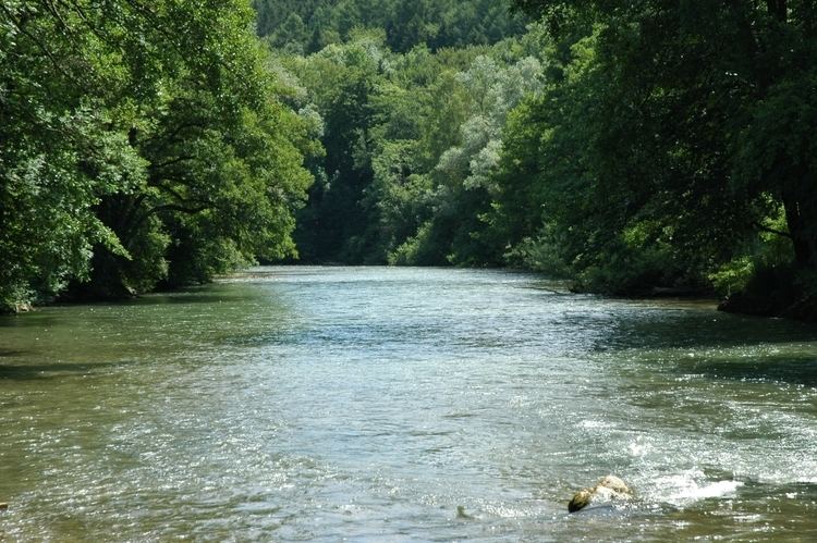
The Amper (known in its upper reaches as the Ammer) is a river in southern Bavaria, Germany – the largest tributary of the Isar river. The Amper flows in a generally north-eastwards direction, reaching the Isar in Moosburg, 185 kilometres (115 mi) from its source in the Ammergau Alps, with a flow of 45 m³/s. It runs through the Ammersee; upstream of the Ammersee it is known as the Ammer. Its major tributaries are the Glonn (located near Augsburg), the Würm (the outflow of Lake Starnberg), and the Maisach.
Map of Amper, Germany
The Ammer flows through Oberammergau. Cities along the Amper include Fürstenfeldbruck, Dachau and Moosburg.
References
Amper Wikipedia(Text) CC BY-SA