
Nearest city Tumbes Address Peru | Governing body SERNANP Established 1975 | |
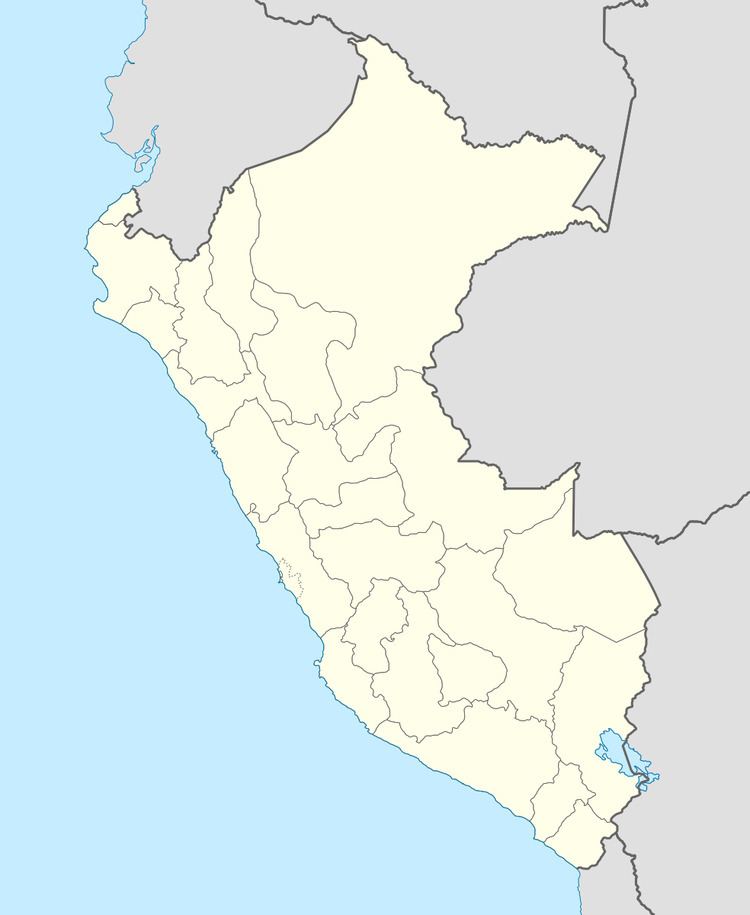 | ||
Location Piura Region and Tumbes Region, Peru Area 151,561 ha (585.18 sq mi) Similar Punta Sal Suites & Bungalo, Los Balcones de Zorritos, Casa Andina Select Zo, Punta Pico | ||
Amotape hills national park ecuador south america
The Amotape Hills National Park (Spanish: Parque Nacional Cerros de Amotape) is located around the Amotape District, in the northern section of the Piura Region and the extreme southern section of the Tumbes Region in Peru. It is the best well kept example of equatorial dry forests in the whole Pacific region. Once before these forests covered the whole of Tumbes, Piura and Lambayeque in Peru, and the El Oro and the Guayas coastal provinces in Ecuador.
Contents
Many varieties of orchids, shrubs, thorn trees and animals are found in these regions such as the spectacled bear, boa constrictor, the endangered American crocodile, and 111 bird species. The national park was officially established on July 22, 1975 and has an area of 151,561 hectares (585.18 sq mi).
Climate
Tropical and humid during the summer months, December to April, and a drier savanna climate during the rest of the year. The average temperature is around 27 °C (81 °F), with highs of 42 °C (108 °F) and lows of 16 °C (61 °F). Throughout the year it is warm, over 25 °C (77 °F), and summers can turn unbearable.
It is the only protected natural area in Peru where the equatorial dry forest ecoregion is still preserved.