Postal code 680 04 Local time Wednesday 1:26 AM | Time zone EET (UTC+2) Elevation 30 m Area code 25530 | |
 | ||
Administrative region East Macedonia and Thrace Weather 8°C, Wind S at 8 km/h, 93% Humidity | ||
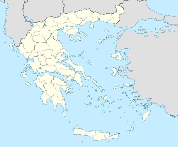
Amorio (Greek: Αμόριο) is a village in the municipal unit of Orfeas, northeastern Evros, Greece. It is situated at 2 km from the right bank of the river Evros, that forms the border with Turkey here. Amorio is 6 km northeast of Lavara, 7 km southwest of Didymoteicho and 21 km west of Uzunköprü (Turkey). The Greek National Road 51/E85 (Alexandroupoli - Orestiada - Svilengrad) and the railway from Alexandroupoli to Didymoteicho pass through the village.
Contents
Map of Amori 680 04, Greece
History
After the Balkan Wars of 1912 and 1913, the area of Western Thrace became part of Bulgaria. As a result of the 1919 Treaty of Neuilly, it became a part of Greece. Amorio suffered damage from floods in 2005.
References
Amorio, Evros Wikipedia(Text) CC BY-SA
