
 | ||
Ami Boué Peak (Bulgarian: връх Ами Буе, ‘Vrah Ami Boué’ \'vr&h a-'mi bu-'e) is the peak rising to 1101 m in the north extremity of Laclavère Plateau on Trinity Peninsula, Antarctic Peninsula. Situated 8.79 km south-southeast of Mount Jacquinot, 11.14 km northeast of Dabnik Peak, 8.43 km north of Kanitz Nunatak and 12.56 km west-southwest of Fidase Peak.
Contents
Map of Ami Bou%C3%A9 Peak, Antarctica
The peak is named after the German-French-Austrian explorer of the Balkans Ami Boué (1794-1881).
Location
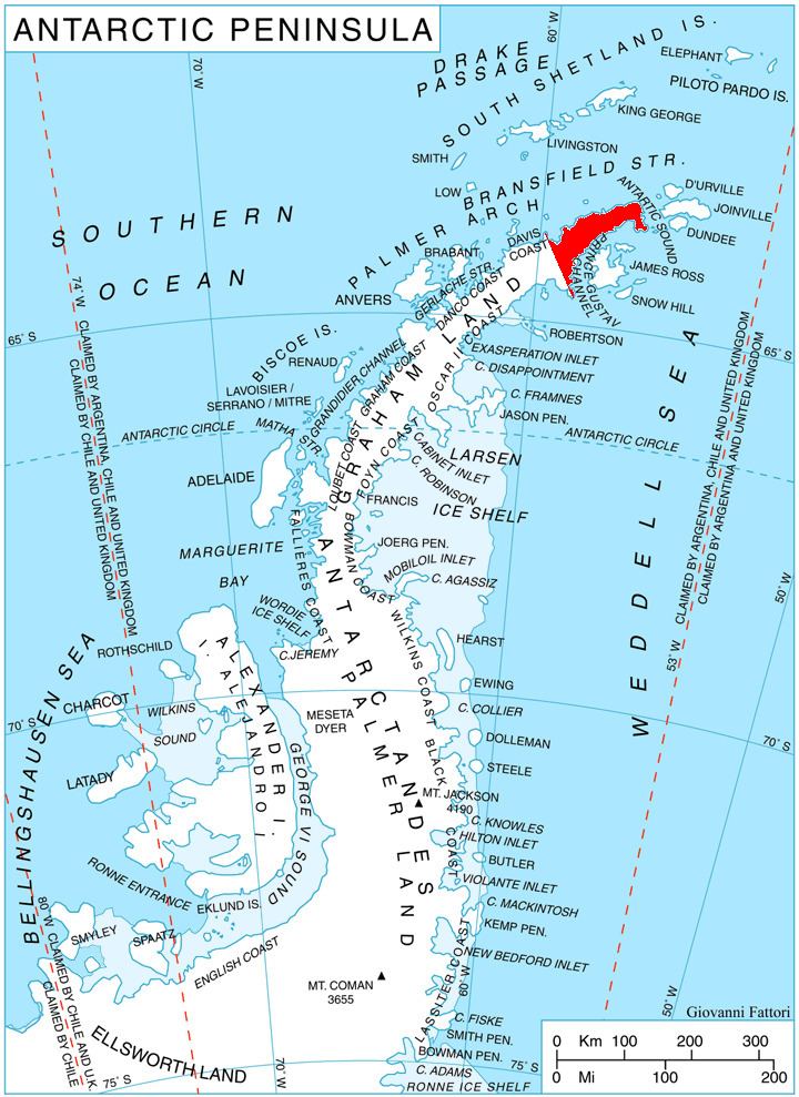
Ami Boué Peak is located at 63°25′01″S 57°47′23″W. German-British mapping in 1996.
Maps
References
Ami Boué Peak Wikipedia(Text) CC BY-SA