
OS grid reference NB043083 Post town ISLE OF HARRIS Dialling code 01859 | Lieutenancy area Western Isles Sovereign state United Kingdom Local time Tuesday 7:15 PM | |
 | ||
Weather 3°C, Wind N at 11 km/h, 93% Humidity | ||
Amhuinnsuidhe castle amhuinnsuidhe united kingdom review hd
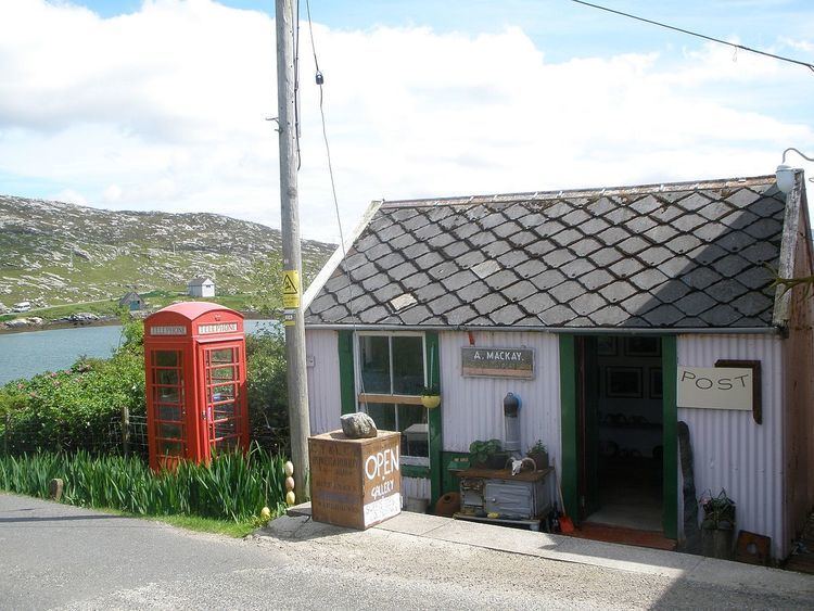
Amhuinnsuidhe (Scottish Gaelic: Abhainn Suidhe) is a settlement on the Harris, in the Outer Hebrides, Scotland. The settlement is also within the parish of Harris. Amhuinnsuidhe is centred on the country house, Amhuinnsuidhe Castle, which is adjacent to the B887 road.
Contents
- Amhuinnsuidhe castle amhuinnsuidhe united kingdom review hd
- Map of Amhuinnsuidhe Isle of Harris UK
- Geography
- History
- References
Map of Amhuinnsuidhe, Isle of Harris, UK
Geography
Amhuinnsuidhe lies on the northern shore of West Loch Tarbert on the Isle of Harris. It is 8 miles (13 km) northwest of Tarbert. Sron Uladail, one of the highest sheer cliffs in the British Isles is located nearby.
History
Amhuinnsuidhe Castle was built in 1865 for Charles Murray, 7th Earl of Dunmore. The castle, as the North Harris Estate, remained in private ownership until 2003.
The 55,000-acre (220 km2) estate was transferred to community ownership in 2003, when the North Harris Trust purchasing the land in a community land purchase. The castle and fishing rights were purchased by Ian Scarr-Hall. They are now operated as Amhuinnsuidhe Castle Estate, a sporting hotel and conference venue.